| Laxton and Moorhouse | |
|---|---|
| Civil parish | |
 St Michael the Archangel's Church, Laxton | |
Parish map | |
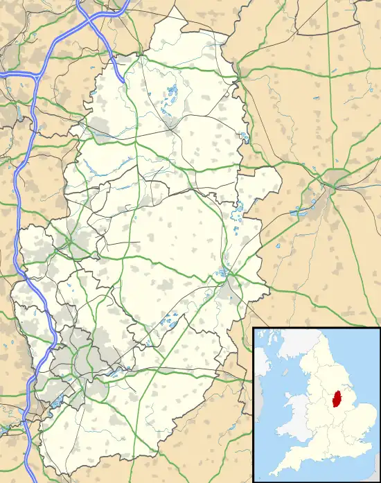 Laxton and Moorhouse Location within Nottinghamshire | |
| Area | 6.26 sq mi (16.2 km2) |
| Population | 251 (2021 Census) |
| • Density | 40/sq mi (15/km2) |
| OS grid reference | SK 73715 66925 |
| • London | 120 mi (190 km) SE |
| District | |
| Shire county | |
| Region | |
| Country | England |
| Sovereign state | United Kingdom |
| Places | Laxton and Moorhouse |
| Post town | NEWARK |
| Postcode district | NG22 |
| Dialling code | 01636 / 01777 / 01780 |
| Police | Nottinghamshire |
| Fire | Nottinghamshire |
| Ambulance | East Midlands |
| UK Parliament | |
| Website | www.laxtonandmoorhouse |
Laxton and Moorhouse is a civil parish in the Newark and Sherwood district, within the county of Nottinghamshire, England.
It consists of two settlements:
- A village, Laxton
- A hamlet, Moorhouse.
The parish was previously known as Laxton until 1990 when Moorhouse was included in the title.[1]
Laxton
Laxton is best known for having the last remaining working open-field system in the United Kingdom. Its name is recorded first in the Domesday Book of 1086 as Laxintone, and may come from Anglo-Saxon Leaxingatūn, meaning the 'farmstead or estate of the people of a man called Leaxa'. It is possibly the namesake of the town of Lexington, Massachusetts, and thus ultimately of all the other towns named Lexington in the United States.[2]
Moorhouse
This is 2 miles east of Laxton, Predominantly, it is a scattering of farms, farmhouses and cottages amongst a wider rural setting. These are grouped around three roads meeting by a single junction: Green Lane, Moorhouse Lane, and Ossington Lane.
See also
References
- ↑ "LGBCE | Nottinghamshire | LGBCE Site". www.lgbce.org.uk. Retrieved 10 November 2020.
- ↑ Gannett, Henry (1905). The Origin of Certain Place Names in the United States. U.S. Government Printing Office. p. 186.
External links