Lavaré | |
|---|---|
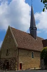 The church of Saint-Pierre, after restoration | |
Location of Lavaré | |
 Lavaré 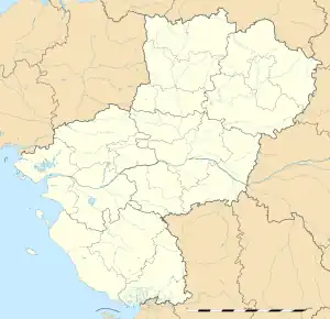 Lavaré | |
| Coordinates: 48°03′10″N 0°38′41″E / 48.0528°N 0.6447°E | |
| Country | France |
| Region | Pays de la Loire |
| Department | Sarthe |
| Arrondissement | Mamers |
| Canton | Saint-Calais |
| Intercommunality | Vallées de la Braye et de l'Anille |
| Government | |
| • Mayor (2020–2026) | Nicolas Massé[1] |
| Area 1 | 22.88 km2 (8.83 sq mi) |
| Population | 816 |
| • Density | 36/km2 (92/sq mi) |
| Time zone | UTC+01:00 (CET) |
| • Summer (DST) | UTC+02:00 (CEST) |
| INSEE/Postal code | 72158 /72390 |
| Elevation | 86–199 m (282–653 ft) |
| 1 French Land Register data, which excludes lakes, ponds, glaciers > 1 km2 (0.386 sq mi or 247 acres) and river estuaries. | |
Lavaré (French pronunciation: [lavaʁe]) is a commune in the Sarthe department in the region of Pays de la Loire in north-western France.
Twin towns – sister cities
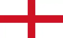 Old Catton , England. Twinning association [3]
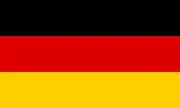 Wagenfeld , Germany
See also
References
- ↑ "Répertoire national des élus: les maires". data.gouv.fr, Plateforme ouverte des données publiques françaises (in French). 2 December 2020.
- ↑ "Populations légales 2021". The National Institute of Statistics and Economic Studies. 28 December 2023.
- ↑ Twinning association
Wikimedia Commons has media related to Lavaré.
This article is issued from Wikipedia. The text is licensed under Creative Commons - Attribution - Sharealike. Additional terms may apply for the media files.