Laney, Wisconsin | |
|---|---|
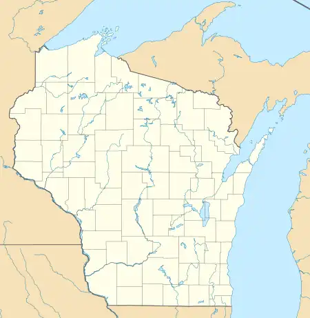
 Looking north at Laney across Wisconsin Highway 29 | |
 Laney, Wisconsin  Laney, Wisconsin | |
| Coordinates: 44°38′40″N 88°17′21″W / 44.64444°N 88.28917°W | |
| Country | |
| State | |
| County | Shawano |
| Elevation | 265 m (869 ft) |
| Time zone | UTC-6 (Central (CST)) |
| • Summer (DST) | UTC-5 (CDT) |
| Area code | 920 |
| GNIS feature ID | 1567833[1] |
Laney is an unincorporated community located in the town of Maple Grove, Shawano County, Wisconsin, United States. Laney is located near Wisconsin Highway 29 3 miles (4.8 km) southwest of Pulaski. The Laney School is listed on the National Register of Historic Places.[2]
References
Municipalities and communities of Shawano County, Wisconsin, United States | ||
|---|---|---|
| Cities | 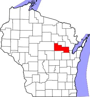 | |
| Villages | ||
| Towns | ||
| CDPs | ||
| Other communities | ||
| Indian reservations | ||
| Footnotes | ‡This populated place also has portions in an adjacent county or counties | |
This article is issued from Wikipedia. The text is licensed under Creative Commons - Attribution - Sharealike. Additional terms may apply for the media files.