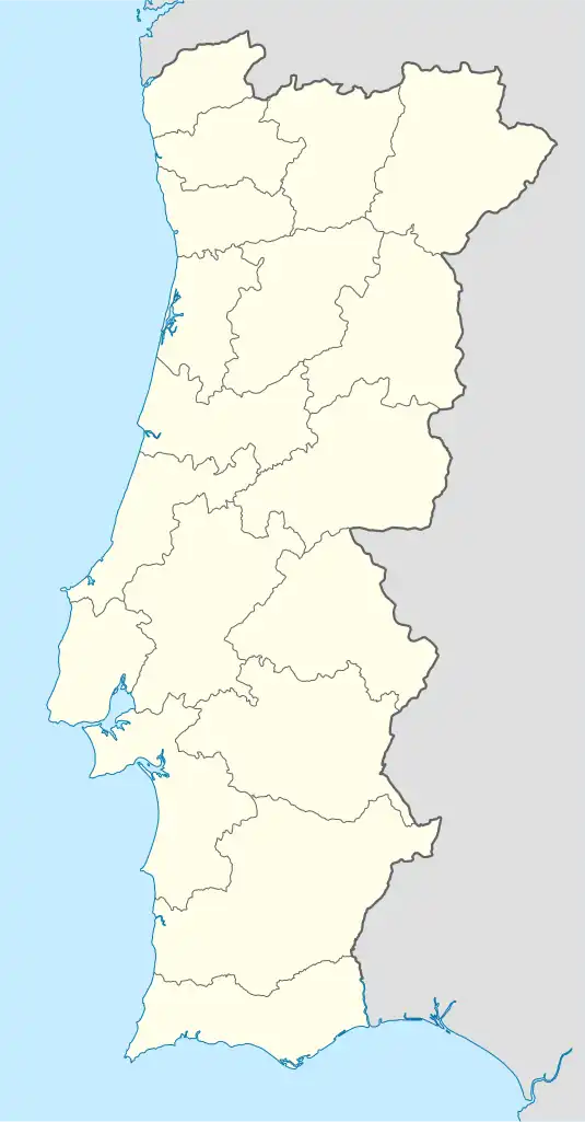
Landal | |
|---|---|
 Landal Location in Portugal | |
| Coordinates: 39°18′58″N 9°01′19″W / 39.316°N 9.022°W | |
| Country | |
| Region | Centro |
| Intermunic. comm. | Oeste |
| District | Leiria |
| Municipality | Caldas da Rainha |
| Area | |
| • Total | 10.21 km2 (3.94 sq mi) |
| Population (2011) | |
| • Total | 1,051 |
| • Density | 100/km2 (270/sq mi) |
| Time zone | UTC±00:00 (WET) |
| • Summer (DST) | UTC+01:00 (WEST) |
| Website | https://landal.home.sapo.pt/ (unofficial) |
Landal is one of twelve civil parishes (freguesias) in the municipality of Caldas da Rainha, Portugal. The civil parish has an area of 10.21 square kilometres (3.94 sq mi)[1] and had a population of 1,051 at the 2011 census.[2]
References
- ↑ "Area (km²) of national territory by Geographic localization (Administrative division); Annual". Instituto Nacional de Estatística (Statistics Portugal). Retrieved 13 May 2014. (Click "Change selection conditions" to choose the parish under Portugal > Leiria > Caldas da Rainha.)
- ↑ "Resident population (No.) by Place of residence and Sex; Decennial". Instituto Nacional de Estatística (Statistics Portugal). Retrieved 13 May 2014. (Click "Change selection conditions" to choose the parish under Portugal > Continente > Centro > Oeste > Caldas da Rainha.)
This article is issued from Wikipedia. The text is licensed under Creative Commons - Attribution - Sharealike. Additional terms may apply for the media files.