Lamaru
Kelurahan Lamaru | |
|---|---|
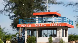 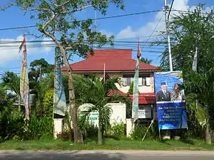 (From the top: Lamaru Beach guard post bottom: Office government Lamaru subdistrict) | |
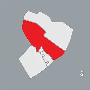 Map Lamaru subdistrict of Balikpapan Location of Lamaru subdistrict from East Balikpapan | |
Interactive map of Lamaru subdistrict | |
| Coordinates: 1°10′08″S 116°58′01″E / 1.168933°S 116.966972°E | |
| Country | |
| Province | East Kalimantan |
| City | Balikpapan |
| District | East Balikpapan |
| Government | |
| • Subdistrict mayor | Surata |
| Area | |
| • Total | 48.555 km2 (18.747 sq mi) |
| Time zone | GMT +8 |
| Website | Official website (in Indonesia) |
Lamaru is a subdistrict in the East Balikpapan, Balikpapan.[2]
Tourisms
- Japanese Soldier Tomb Monument (Monumen Makam Tentara Jepang)
- Lamaru Beach (Pantai Lamaru)
- Lamaru Mirror Lake (Danau Cermin)
References
- ↑ Balikpapan, Official Government (2011-12-07). "Wilayah Administrasi Kota Balikpapan" (in Indonesian).
- ↑ Balikpapan, Official Government. "Keadaan Geografi dan Demografi". balikpapantimur.balikpapan.go.id. Retrieved 2021-03-01.
External links
| Districts (Subdistricts) | ||
|---|---|---|
| Landmarks | ||
| Related topics | ||
This article is issued from Wikipedia. The text is licensed under Creative Commons - Attribution - Sharealike. Additional terms may apply for the media files.