| Lake Morehurehu | |
|---|---|
 Lake Morehurehu | |
| Location | Northland Region, North Island |
| Coordinates | 34°38′38″S 172°59′47″E / 34.6440°S 172.9964°E |
| Type | Dune Lake |
| Catchment area | 3.16 km2 (1.22 sq mi) |
| Basin countries | New Zealand |
| Surface area | 36.3 hectares (90 acres) |
| Max. depth | 14 metres (46 ft) |
| Residence time | 2.23 years |
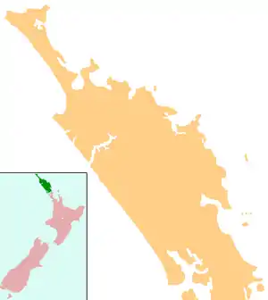
Lake Morehurehu is a dune lake in the Northland Region of New Zealand.[1] It is located to the Northeast of Te Kao on the Aupouri Peninsula.
The lake has 3 separate stream inlets, the lake discharges from the southeastern end of the lake through a wetland, which flows into Great Exhibition Bay on the peninsula's east coast.[2]
The land use of the lake catchment is pine plantation forestry, the lake itself has a surrounding vegetative zone of manuka/hakea scrub.[2]
The water quality of the lake is monitored by Northland Regional Council,[3] and the environmental information can be viewed on the LAWA website.[4]
See also
References
- ↑ "Place name detail: Lake Morehurehu". New Zealand Gazetteer. New Zealand Geographic Board. Retrieved 23 July 2009.
- 1 2 "Northland Lakes Ecological Status 2010". Northland Regional Council.
- ↑ "Lake Water Quality Monitoring Network - Northland Regional Council". www.nrc.govt.nz. Retrieved 26 December 2018.
- ↑ "Lake Morehurehu Water Quality". Land, Air, Water Aotearoa (LAWA). Retrieved 26 December 2018.
This article is issued from Wikipedia. The text is licensed under Creative Commons - Attribution - Sharealike. Additional terms may apply for the media files.