| Lai da Ravais-ch | |
|---|---|
 Lai da Ravais-ch 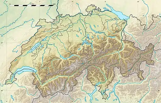 Lai da Ravais-ch  Lai da Ravais-ch  Lai da Ravais-ch | |
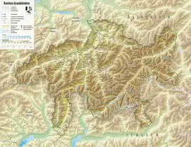
| Location | Graubünden |
| Coordinates | 46°40′49″N 9°52′07″E / 46.68028°N 9.86861°E |
| Primary outflows | Ava da Ravais-ch |
| Basin countries | Switzerland |
| Surface area | 9.3 ha (23 acres)[1] |
| Surface elevation | 2,505 m (8,219 ft)[2] |
The Lai da Ravais-ch is an Alpine lake located south of the Sertig Pass and west of the Sella da Ravais-ch, in the Swiss canton of Graubünden. The lake has an area of 0.093 km² and is located at 2,505 metres above sea level. It is located in the municipality of Bergün Filisur.
The lake is also named Lai da Ravais-ch Suot to distinguish it from a smaller lake located east of the Sella da Ravais-ch and named Lai da Ravais-ch Sur.
See also
References
- ↑ Area retrieved from Google Earth (July 2013)
- ↑ Height retrieved from the Swisstopo topographic maps
This article is issued from Wikipedia. The text is licensed under Creative Commons - Attribution - Sharealike. Additional terms may apply for the media files.