La Mercy | |
|---|---|
 La Mercy 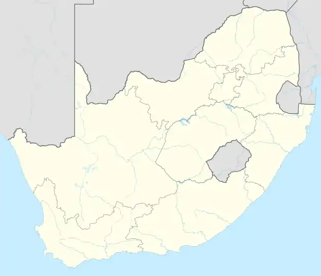 La Mercy | |
| Coordinates: 29°38′S 31°08′E / 29.633°S 31.133°E | |
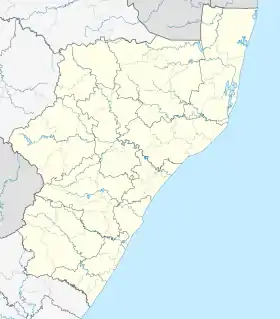
| Country | South Africa |
| Province | KwaZulu-Natal |
| Municipality | eThekwini |
| Government | |
| Area | |
| • Total | 27.73 km2 (10.71 sq mi) |
| Population (2011)[1] | |
| • Total | 2,779 |
| • Density | 100/km2 (260/sq mi) |
| Racial makeup (2011) | |
| • Black African | 41.6% |
| • Coloured | 1.8% |
| • Indian/Asian | 48.2% |
| • White | 7.4% |
| • Other | 0.9% |
| First languages (2011) | |
| • English | 57.0% |
| • Zulu | 23.2% |
| • Xhosa | 12.8% |
| • Afrikaans | 2.4% |
| • Other | 4.5% |
| Time zone | UTC+2 (SAST) |
| Postal code (street) | 4399 |
| PO box | 4405 |
La Mercy is a suburb of the eThekwini municipality about 27 km (17 mi) north of Durban, South Africa. It is the location of Durban's King Shaka International Airport. It has four distinct areas - The airport precinct, the main residential area, a shanty town, and a beach-front strip of apartments along South Beach Road.
Although host to an international airport, La Mercy is a small suburb, with no shopping center or public transport to speak of; severely lacking in communal infrastructure such as pavements and public parks.
There is one under-utilised primary school (La Mercy Primary), two hotels (La Mercy Beach Hotel and Seabelle) with restaurants, two shops, and a community hall.
References
- 1 2 3 4 "Main Place La Mercy". Census 2011.
Saxhuma IT Saxhuma IT
External links
.svg.png.webp)
This article is issued from Wikipedia. The text is licensed under Creative Commons - Attribution - Sharealike. Additional terms may apply for the media files.