Kusugal | |
|---|---|
village | |
| Nickname: Bet kusugal | |
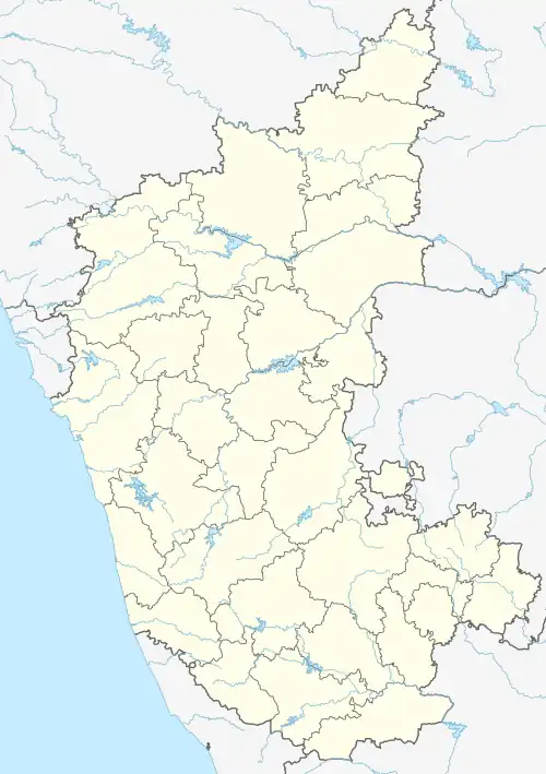 Kusugal Location in Karnataka, India  Kusugal Kusugal (India) | |
| Coordinates: 15°22′N 75°13′E / 15.367°N 75.217°E | |
| Country | |
| State | Karnataka |
| District | Dharwad |
| Talukas | Hubli |
| Government | |
| • Type | Panchayat raj |
| • Body | Gram panchayat |
| • Rank | 1 |
| Population (2011) | |
| • Total | 9,825 |
| Languages | |
| • Official | Kannada |
| Time zone | UTC+5:30 (IST) |
| ISO 3166 code | IN-KA |
| Vehicle registration | KA |
| Website | karnataka |
Kusugal is a village in the southern state of Karnataka, India.[1][2] It is located in the Hubballi taluka of Dharwad district of Karnataka state.
Demographics
As of the 2011 Census of India there were 2,004 households in Kusugal and a total population of 9,825 consisting of 4,970 males and 4,855 females. There were 1,284 children ages 0-6.[3]
A majority of the population is Hindu, with the next largest group being Muslim, along with a few Jain families.
Schools
- Noorandappa Chennappa Muttagi Kannad Gandu Makkal Shale
- Government High School
- Hennumakkal Shale
- Urdu School
See also
References
- ↑ Village code= 667600 "Census of India : Villages with population 5000 & above". Registrar General & Census Commissioner, India. Archived from the original on 8 December 2008. Retrieved 18 December 2008.
- ↑ "Yahoomaps India :". Archived from the original on 18 December 2008. Retrieved 18 December 2008. Kusugal, Dharwad, Karnataka
- ↑ "C.D. Block Wise Primary Census Abstract Data(PCA) - KARNATAKA". Census Commission of India. Retrieved 1 August 2020.
External links
This article is issued from Wikipedia. The text is licensed under Creative Commons - Attribution - Sharealike. Additional terms may apply for the media files.