| Kuntur Sayana | |
|---|---|
 Kuntur Sayana Peru | |
| Highest point | |
| Elevation | 5,000 m (16,000 ft)[1] |
| Coordinates | 15°29′06″S 70°49′58″W / 15.48500°S 70.83278°W |
| Geography | |
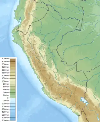
| Location | Peru, Puno Region, Lampa Province |
| Parent range | Andes |
Kuntur Sayana (Quechua kuntur condor, sayana stop, whereabouts, a place where you stop frequently,[2] "condor stop", Hispanicized spelling Condorsayana) is a mountain in the Andes of Peru, about 5,000 metres (16,404 ft) high. It is located in the Puno Region, Lampa Province, Paratía District.[1]
References
- 1 2 escale.minedu.gob.pe - UGEL map of the Lampa Province (Puno Region)
- ↑ Teofilo Laime Ajacopa (2007). Diccionario Bilingüe: Iskay simipi yuyayk’anch: Quechua – Castellano / Castellano – Quechua (PDF). La Paz, Bolivia: futatraw.ourproject.org.
This article is issued from Wikipedia. The text is licensed under Creative Commons - Attribution - Sharealike. Additional terms may apply for the media files.