Kudur | |
|---|---|
place | |
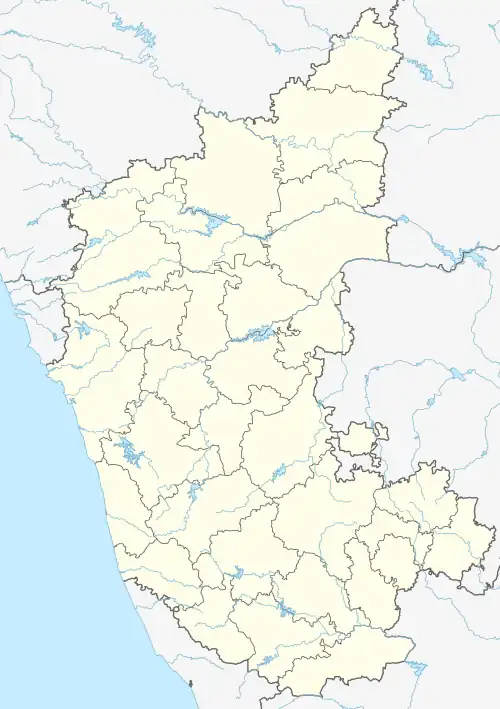 Kudur Location in Karnataka, India  Kudur Kudur (India) | |
| Coordinates: 13°06′39″N 77°08′53″E / 13.1109519°N 77.1479417°E | |
| Country | |
| State | Karnataka |
| Population (2011) | |
| • Total | 9,114 |
| Languages | |
| • Official | Kannada |
| Time zone | UTC+5:30 (IST) |
Kudur is a place in the southern state of Karnataka, India.[1][2] It is located in the Magadi taluk of Ramanagara district in Karnataka.
Demographics
As of 2011 India Census, Kudur had a population of 9114 with 4568 males and 4546 females.[1] The location is accessible from Solur (around 12 km to Kudur) or from Marur handpost (around 5 km to Kudur). Both these locations lie right on NH 75 (Bangalore-Mangalore Highway).
See also
- Ramanagara District
- Districts of Karnataka
References
- 1 2 Village code= 2211500 "Census of India : Villages with population 5000 & above". Registrar General & Census Commissioner, India. Archived from the original on 8 December 2008. Retrieved 18 December 2008.
- ↑ "Yahoomaps India :". Archived from the original on 18 December 2008. Retrieved 18 December 2008.Kudur, Ramanagara District, Karnataka
External links
District HQ: Bangalore Rural | |
| Villages and Towns |
|
This article is issued from Wikipedia. The text is licensed under Creative Commons - Attribution - Sharealike. Additional terms may apply for the media files.