Kraselov | |
|---|---|
.jpg.webp) Church of Saint Lawrence | |
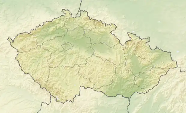 Kraselov Location in the Czech Republic | |
| Coordinates: 49°13′41″N 13°48′14″E / 49.22806°N 13.80389°E | |
| Country | |
| Region | South Bohemian |
| District | Strakonice |
| First mentioned | 1352 |
| Area | |
| • Total | 8.02 km2 (3.10 sq mi) |
| Elevation | 595 m (1,952 ft) |
| Population (2023-01-01)[1] | |
| • Total | 232 |
| • Density | 29/km2 (75/sq mi) |
| Time zone | UTC+1 (CET) |
| • Summer (DST) | UTC+2 (CEST) |
| Postal code | 387 16 |
| Website | obec-kraselov |
Kraselov is a municipality and village in Strakonice District in the South Bohemian Region of the Czech Republic. It has about 200 inhabitants.
Kraselov lies approximately 9 kilometres (6 mi) south-west of Strakonice, 57 km (35 mi) north-west of České Budějovice, and 106 km (66 mi) south-west of Prague.
Administrative parts
Villages of Lhota u Svaté Anny, Milčice and Mladotice are administrative parts of Kraselov.
Galery
.jpg.webp) Crossroads
Crossroads.jpg.webp) Saint Anne pilgrimage site
Saint Anne pilgrimage site.jpg.webp) Municipal office
Municipal office
References
Wikimedia Commons has media related to Kraselov.
This article is issued from Wikipedia. The text is licensed under Creative Commons - Attribution - Sharealike. Additional terms may apply for the media files.