Kouan-Houlé | |
|---|---|
Town and sub-prefecture | |
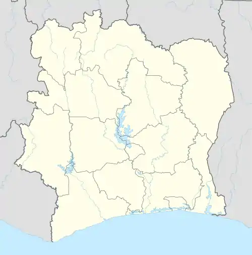 Kouan-Houlé Location in Ivory Coast | |
| Coordinates: 7°24′N 8°16′W / 7.400°N 8.267°W | |
| Country | |
| District | Montagnes |
| Region | Tonkpi |
| Department | Danané |
| Population (2014)[1] | |
| • Total | 27,926 |
| Time zone | UTC+0 (GMT) |
Kouan-Houlé is a town in the far west of Ivory Coast. It is a sub-prefecture of Danané Department in Tonkpi Region, Montagnes District.
Kouan-Houlé was a commune until March 2012, when it became one of 1126 communes nationwide that were abolished.[2]
In 2014, the population of the sub-prefecture of Kouan-Houlé was 27,926.[3]
Villages
The twenty five villages of the sub-prefecture of Kouan-Houlé and their population in 2014 are:[3]
- Bampleu (893)
- Bouan-Houyé (1 864)
- Dohouba (463)
- Flampleu 2 (1 077)
- Gbapleu (2 358)
- Gbata (386)
- Gopoupleu (1 958)
- Gouéleu (1 063)
- Guetta (554)
- Gueukpopleu (634)
- Gueupleu (503)
- Gueutagbeupleu (551)
- Gueutéagbeupleu (562)
- Kohiba (1 018)
- Kouan-Houlé (4 900)
- Kpanpleu-Sin-Houyé (1 687)
- Kpoleu (1 431)
- Lampleu 1 (550)
- Lampleu 2 (474)
- Mampleu (390)
- Natta (653)
- Oumpleupleu (685)
- Tieupleu 1 (1 102)
- Zankagleu (959)
- Zéalé (650)
Notes
- ↑ "Côte d'Ivoire". geohive.com. Retrieved 7 December 2015.
- ↑ "Le gouvernement ivoirien supprime 1126 communes, et maintient 197 pour renforcer sa politique de décentralisation en cours", news.abidjan.net, 7 March 2012.
- 1 2 "RGPH 2014, Répertoire des localités, Région Tonkpi" (PDF). ins.ci. Retrieved 5 August 2019.
Regional seat: Man | ||
| Biankouma Department | 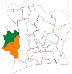 | |
| Danané Department | ||
| Man Department | ||
| Sipilou Department | ||
| Zouan-Hounien Department | ||
* also a commune | ||
This article is issued from Wikipedia. The text is licensed under Creative Commons - Attribution - Sharealike. Additional terms may apply for the media files.