Kot Ise Khan, Punjab | |
|---|---|
Town | |
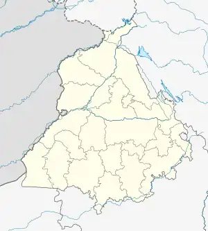
 Kot Ise Khan, Punjab Location in Punjab, India  Kot Ise Khan, Punjab Kot Ise Khan, Punjab (India) | |
| Coordinates: 30°56′37″N 75°08′16″E / 30.943699°N 75.137826°E | |
| Country | India |
| State | Punjab |
| District | Moga |
| Government | |
| • Type | Local Government |
| • Body | State Government of Punjab, Government of India |
| Area | |
| • Total | 5 km2 (2 sq mi) |
| Elevation | 221 m (725 ft) |
| Population (2011) | |
| • Total | 13,000 |
| • Density | 2,753/km2 (7,130/sq mi) |
| Languages | |
| • Principal | Punjabi, Hindi |
| Time zone | UTC+5:30 (IST) |
| PIN | 142043 |
| Telephone code | 01682 |
| Vehicle registration | PB- 76 |
Kot Ise Khan is a town in Moga district of Indian state of Punjab.
Location
This town is located on Moga-Makhu section of National Highway 703B in Moga District. Moga is at a distance of 15 Kilometers from Kot Ise Khan. Other nearby towns are Zira, Makhu and Dharamkot.[1]
References
- ↑ "Google Maps". google.co.in. Retrieved 11 November 2018.
This article is issued from Wikipedia. The text is licensed under Creative Commons - Attribution - Sharealike. Additional terms may apply for the media files.