Kot Haibat | |
|---|---|
Union council and town | |
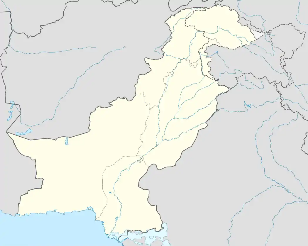 Kot Haibat Location in Pakistan | |
| Coordinates: 30°6′N 70°37′E / 30.100°N 70.617°E | |
| Country | Pakistan |
| Province | Punjab |
| District | Dera Ghazi Khan District |
| Elevation | 407 ft (124 m) |
| Time zone | UTC+5 (PST) |
| • Summer (DST) | +6 |
Kot Haibat is a town and union council of Dera Ghazi Khan District in the Punjab province of Pakistan.[1] It is located at 30°6'0N 70°37'0E and has an altitude of 124 metres (410feet).[2]
References
30°6′0″N 70°37′0″E / 30.10000°N 70.61667°E
This article is issued from Wikipedia. The text is licensed under Creative Commons - Attribution - Sharealike. Additional terms may apply for the media files.