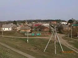
Kopyly
Копили | |
|---|---|
Village | |
 Part of the village | |
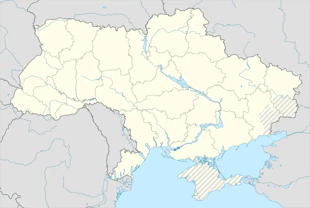 Kopyly Location in Ukraine 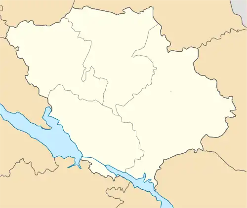 Kopyly Kopyly (Poltava Oblast) | |
| Coordinates: 49°33′33″N 34°36′49″E / 49.55917°N 34.61361°E | |
| Country | |
| Oblast | |
| Raion | |
| Village founded | ? |
| Area | |
| • Total | 2.974 km2 (1.148 sq mi) |
| Elevation | 91 m (299 ft) |
| Population (2001) | |
| • Total | 2,525 |
| • Density | 850/km2 (2,200/sq mi) |
| Time zone | UTC+2 (EET) |
| • Summer (DST) | UTC+3 (EEST) |
| Postal code | 38761 |
| Area code | +380 532 |
Kopyly (Ukrainian: Копили) is a village in Poltava Raion, Poltava Oblast, Ukraine. It belongs to Tereshky rural hromada, one of the hromadas of Ukraine.[1] The village has a population of 2,525.
The village is located 3 km southeast of Poltava, within Tereshky village council, at the E 40 chaussee and at the railway line Poltava—Krasnohrad. The largest body of water in the neighbourhood is Vorskla river. Its biggest tributary, the Kolomak, flows into it near the village.
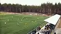 Suburban training field of FC Poltava
References
- ↑ "Терешковская громада" (in Russian). Портал об'єднаних громад України.
External links
49°33′33″N 34°36′49″E / 49.55917°N 34.61361°E
This article is issued from Wikipedia. The text is licensed under Creative Commons - Attribution - Sharealike. Additional terms may apply for the media files.