Klinča Sela | |
|---|---|
| Municipality of Klinča Sela | |
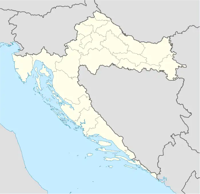 Klinča Sela Location of Klinča Sela in Croatia | |
| Coordinates: 45°40′48″N 15°45′0″E / 45.68000°N 15.75000°E | |
| Country | |
| County | |
| Area | |
| • Municipality | 77.0 km2 (29.7 sq mi) |
| • Urban | 5.6 km2 (2.2 sq mi) |
| Population (2021)[2] | |
| • Municipality | 5,044 |
| • Density | 66/km2 (170/sq mi) |
| • Urban | 1,809 |
| • Urban density | 320/km2 (840/sq mi) |
| Time zone | UTC+1 (Central European Time) |
| Vehicle registration | ZG |
| Website | klinca-sela |
Klinča Sela is a municipality in Zagreb County, Croatia.
In the 2011 census, there were a total of 5,231 inhabitants, in the following settlements:[3]
- Beter, population 207
- Donja Purgarija, population 123
- Donja Zdenčina, population 1,009
- Goli Vrh, population 278
- Gonjeva, population 49
- Gornja Purgarija, population 82
- Gornja Zdenčina, population 161
- Klinča Sela, population 1,726
- Kozlikovo, population 127
- Kupinec, population 881
- Novo Selo Okićko, population 110
- Poljanica Okićka, population 4
- Repišće, population 359
- Tržić, population 115
References
- ↑ Register of spatial units of the State Geodetic Administration of the Republic of Croatia. Wikidata Q119585703.
- ↑ "Population by Age and Sex, by Settlements, 2021 Census". Census of Population, Households and Dwellings in 2021. Zagreb: Croatian Bureau of Statistics. 2022.
- ↑ "Population by Age and Sex, by Settlements, 2011 Census: Klinča Sela". Census of Population, Households and Dwellings 2011. Zagreb: Croatian Bureau of Statistics. December 2012.
Subdivisions of Zagreb County | ||
|---|---|---|
| Towns |  Coat of arms of Zagreb County | |
| Municipalities | ||
This article is issued from Wikipedia. The text is licensed under Creative Commons - Attribution - Sharealike. Additional terms may apply for the media files.