Koh Doot
ကော့ဒွတ်ရွာ | |
|---|---|
| ကွာန်ကအ်ဍောတ် | |
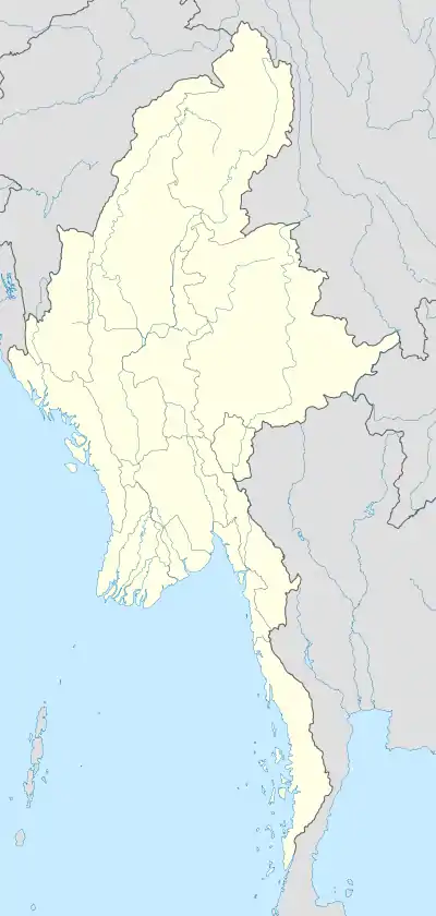 Koh Doot Location in Burma | |
| Coordinates: 15°30′58″N 97°46′57″E / 15.51611°N 97.78250°E | |
| Country | |
| State | Mon State |
| District | Mawlamyine District |
| Township | Ye Township |
| Elevation | 9 m (30 ft) |
| Population (2014) | 8,480 |
| • Religions | Buddhism |
| Time zone | UTC+6.30 (MST) |
Koh Doot (Mon: ကအ်ဍောတ်; Burmese: ကော့ဒွတ်) is a large village in Ye Township in Mawlamyine District in the Mon State of south-east Myanmar. Koh Doot is on the coastal plain about 6 kilometres (3.7 mi) west of Lamaing.[1] The Koh Doot Ferry is about 1.7 km north-west of the village on the Koh Doot Chaung.[1]
Notes
- 1 2 Labeled as "Koh Doot", Burma 1:250,000 topographic map, Series U542, ND 47-02 Ye U.S. Army Map Service, December 1959
External links
- Koh Doot at "Kawdut Map — Satellite Images of Kawdut" Maplandia World Gazetteer
This article is issued from Wikipedia. The text is licensed under Creative Commons - Attribution - Sharealike. Additional terms may apply for the media files.