Kathlapur | |
|---|---|
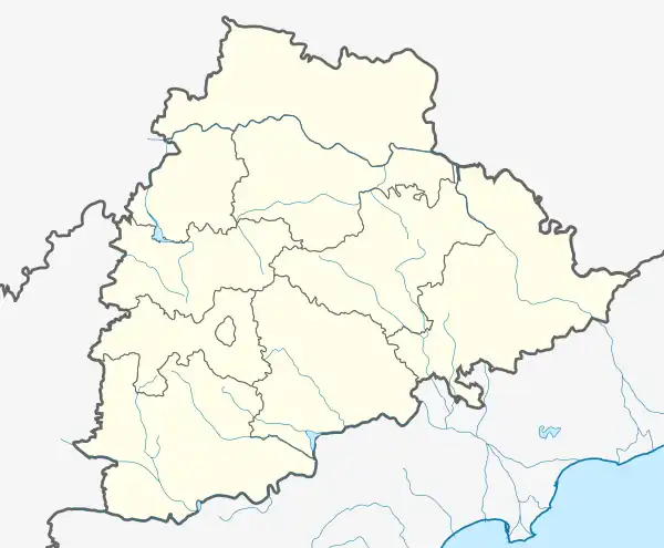 Kathlapur Location in Telangana, India  Kathlapur Kathlapur (India) | |
| Coordinates: 18°44′50″N 78°41′5″E / 18.74722°N 78.68472°E | |
| Country | |
| State | Telangana |
| District | Jagtial |
| Talukas | Kathlapur |
| Languages | |
| • Official | Telugu |
| Time zone | UTC+5:30 (IST) |
| Vehicle registration | TS 21 |
| Website | telangana |
Kathlapur is a mandal in Jagtial district in the state of Telangana in India.[1]
Panchayats
The following is the list of village panchayats in Kathlapur mandal"[1]
- Bommena
- Bhushanraopet
- Ambaripet
- Chinta Kunta
- Duluru
- Dumpet
- Gambeerpur
- Ippapally
- Kalikota
- Kathlapoor
- Ottapally
- Peggarla
- Posanipet
- Potharam
- Sirkonda
- Thakkalapally
- Thandrial
- Thurthy
References
- 1 2 "District Administration – Formation/Reorganization of District, Revenue Divisions and Mandals in Jagitial District – Final Notification - Orders – Issued" (PDF). Jagtial District. Retrieved 25 July 2017.
This article is issued from Wikipedia. The text is licensed under Creative Commons - Attribution - Sharealike. Additional terms may apply for the media files.