Kapustin Yar
Капустин яр | |
|---|---|
Selo | |
 Kapustin Yar 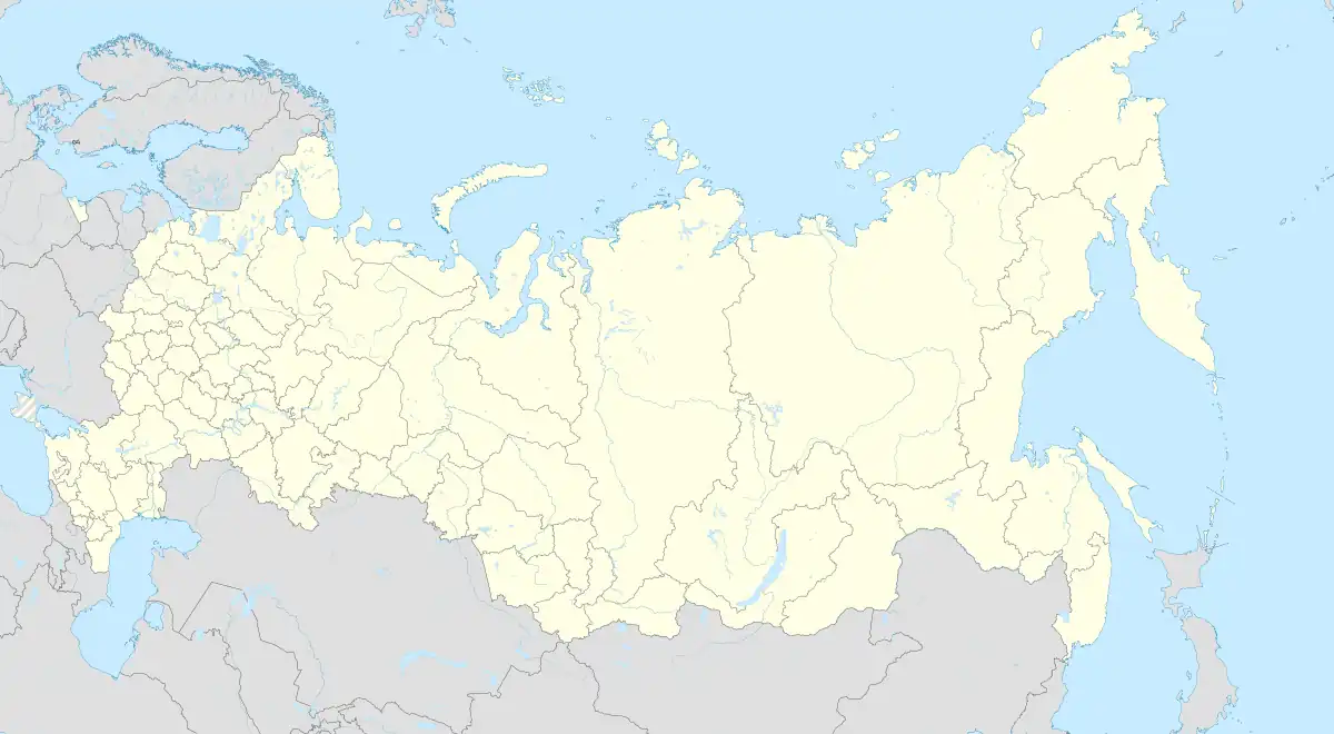 Kapustin Yar | |
| Coordinates: 48°34′N 45°45′E / 48.567°N 45.750°E[1] | |
| Country | Russia |
| Region | Astrakhan Oblast |
| District | Akhtubinsky District |
| Time zone | UTC+4:00 |
Kapustin Yar (Russian: Капустин яр) is a rural locality (a selo) and the administrative center of Kapustinoyarsky Selsoviet of Akhtubinsky District, Astrakhan Oblast, Russia. The population was 5,724 as of 2010.[2] There are 91 streets.
Geography
Kapustin Yar is located 46 km northwest of Akhtubinsk (the district's administrative centre) by road. Znamensk is the nearest rural locality.[3]
References
- ↑ Карта села Капустин Яр в Астраханской области
- ↑ "Всероссийская перепись населения 2010 года. 1. Численность и размещение населения Астраханской области" (PDF). Archived from the original (PDF) on 2018-08-27. Retrieved 2019-03-03.
- ↑ Расстояние от Капустина Яра до Ахтубинска
This article is issued from Wikipedia. The text is licensed under Creative Commons - Attribution - Sharealike. Additional terms may apply for the media files.