Kóny | |
|---|---|
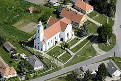 Aerial view of the church | |
 Coat of arms | |
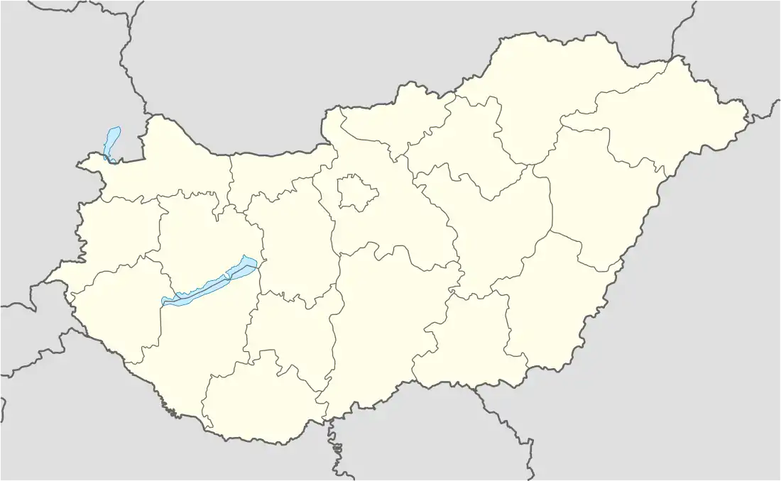 Kóny Location of Kóny | |
| Coordinates: 47°37′47″N 17°21′46″E / 47.62977°N 17.36279°E | |
| Country | |
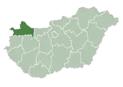
| County | Győr-Moson-Sopron |
| Area | |
| • Total | 28.87 km2 (11.15 sq mi) |
| Population (2004) | |
| • Total | 2,692 |
| • Density | 93.24/km2 (241.5/sq mi) |
| Time zone | UTC+1 (CET) |
| • Summer (DST) | UTC+2 (CEST) |
| Postal code | 9144 |
| Area code | 96 |
| Motorways | M85 |
| Distance from Budapest | 147 km (91 mi) East |
| Website | http://www.kony.hu/ |
Kóny is a village in Győr-Moson-Sopron county, Hungary. It is around 20 km west of Győr.
External links
- Street map (in Hungarian)
| Town (1) |
| |
|---|---|---|
| Large villages (2) | ||
| Villages (30) | ||
This article is issued from Wikipedia. The text is licensed under Creative Commons - Attribution - Sharealike. Additional terms may apply for the media files.