Káva | |
|---|---|
 Coat of arms | |
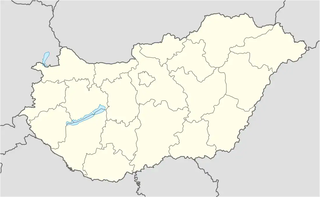 Káva Location of Káva in Hungary | |
| Coordinates: 47°21′20″N 19°35′17″E / 47.35551°N 19.58801°E | |
| Country | |
| Region | Central Hungary |
| County | Pest |
| Subregion | Monori |
| Rank | Village |
| Area | |
| • Total | 11.31 km2 (4.37 sq mi) |
| Population (1 January 2008)[2] | |
| • Total | 623 |
| • Density | 55/km2 (140/sq mi) |
| Time zone | UTC+1 (CET) |
| • Summer (DST) | UTC+2 (CEST) |
| Postal code | 2215 |
| Area code | +36 29 |
| KSH code | 27827[1] |
References
- 1 2 Káva at the Hungarian Central Statistical Office (Hungarian).
- ↑ Káva at the Hungarian Central Statistical Office (Hungarian). 1 January 2008
47°21′N 19°35′E / 47.350°N 19.583°E
This article is issued from Wikipedia. The text is licensed under Creative Commons - Attribution - Sharealike. Additional terms may apply for the media files.