Joubertina | |
|---|---|
 Joubertina | |
 Joubertina 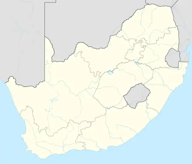 Joubertina | |
| Coordinates: 33°49′30″S 23°51′28″E / 33.82500°S 23.85778°E | |
| Country | South Africa |
| Province | Eastern Cape |
| District | Sarah Baartman |
| Municipality | Kou-Kamma |
| Area | |
| • Total | 8.20 km2 (3.17 sq mi) |
| Population (2011)[1] | |
| • Total | 5,752 |
| • Density | 700/km2 (1,800/sq mi) |
| Racial makeup (2011) | |
| • Black African | 16.8% |
| • Coloured | 73.5% |
| • Indian/Asian | 0.3% |
| • White | 9.0% |
| • Other | 0.5% |
| First languages (2011) | |
| • Afrikaans | 87.6% |
| • Xhosa | 6.4% |
| • English | 3.2% |
| • Other | 2.9% |
| Time zone | UTC+2 (SAST) |
| Postal code (street) | 6410 |
| PO box | 6410 |
| Area code | 042 |
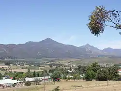
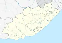
Joubertina is a small town in the Kou-Kamma Local Municipality, Sarah Baartman District of the Eastern Cape province of South Africa.
Description
Town on the Wabooms River in the Langkloof, some 50 km north-west of Assegaaibos, 70 km south-east of Avontuur and 213 km from Port Elizabeth. Joubertina was founded and introduced into the Langkloof community in 1907. Having secured a portion of the farm Onzer, in between the villages of Krakeel and Twee Riviere (both founded in 1765), a property development was launched there under the initiative of the Dutch Reformed Church. As the sale of erven around a newly erected church building gradually got underway in 1907, the future town was named in honour of W A Joubert, minister of the Dutch Reformed Church in Uniondale between 1878 and 1893.[2]
Joubertina is located on the R62 road in the Langkloof valley, approximately 5 km west of Twee Riviere, near the western extreme of the Eastern Cape.
The town has a station on the narrow gauge Avontuur Railway.
References
- 1 2 3 4 "Main Place Joubertina". Census 2011.
- ↑ "Dictionary of Southern African Place Names (Public Domain)". Human Science Research Council. p. 232.
External links
Municipalities and communities of Sarah Baartman District Municipality, Eastern Cape | ||
|---|---|---|
District seat: Port Elizabeth (Gqeberha) | ||
| Blue Crane Route |
| .svg.png.webp) Sarah Baartman District within South Africa |
| Dr Beyers Naudé | ||
| Kouga | ||
| Kou-Kamma | ||
| Makana |
| |
| Ndlambe | ||
| Sunday's River Valley | ||