Jalhay
| |
|---|---|
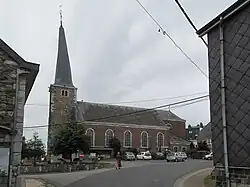 The Saint Michael's church (twisted church tower). | |
|
Coat of arms | |
Location of Jalhay | |
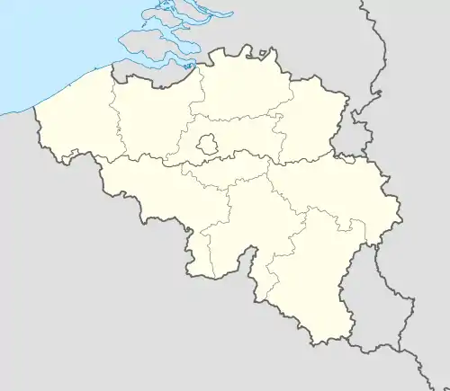 Jalhay Location in Belgium
Location of Jalhay in the province of Liège 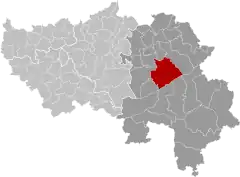 | |
| Coordinates: 50°34′N 05°58′E / 50.567°N 5.967°E | |
| Country | |
| Community | French Community |
| Region | Wallonia |
| Province | Liège |
| Arrondissement | Verviers |
| Government | |
| • Mayor | Michel Fransolet (MR) |
| • Governing party/ies | MR/IC/EJS |
| Area | |
| • Total | 106.94 km2 (41.29 sq mi) |
| Population (2018-01-01)[1] | |
| • Total | 8,590 |
| • Density | 80/km2 (210/sq mi) |
| Postal codes | 4845 |
| NIS code | 63038 |
| Area codes | 087 |
| Website | www.jalhay.be |
Jalhay (French pronunciation: [ʒalɛ]; Walloon: Djalhé) is a municipality of Wallonia located in the province of Liège, Belgium.
On 1 January 2006 Jalhay had a total population of 7,953. The total area is 107.75 km² which gives a population density of 74 inhabitants per km².
The municipality consists of the following districts: Jalhay and Sart.
The highest point of the municipality is the Baraque Michel in the High Fens, at 674 metres (2,211 ft).
See also
References
- ↑ "Wettelijke Bevolking per gemeente op 1 januari 2018". Statbel. Retrieved 9 March 2019.
External links
 Media related to Jalhay at Wikimedia Commons
Municipalities in the province of Liège, Wallonia | ||
|---|---|---|
| Huy |  | |
| Liège | ||
| Verviers | ||
| Waremme | ||
| ||
This article is issued from Wikipedia. The text is licensed under Creative Commons - Attribution - Sharealike. Additional terms may apply for the media files.