Itaberá | |
|---|---|
 Coat of arms | |
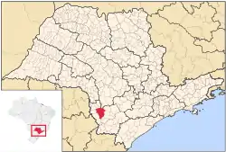 Location in São Paulo state | |
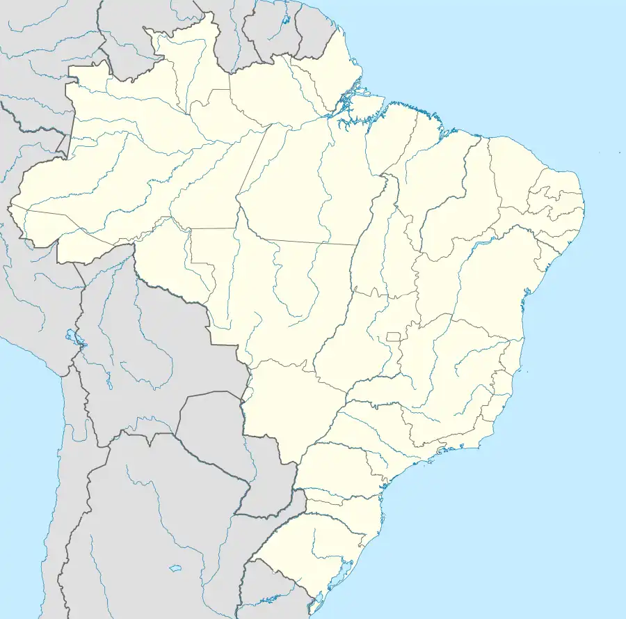 Itaberá Location in Brazil | |
| Coordinates: 23°51′43″S 49°8′14″W / 23.86194°S 49.13722°W | |
| Country | Brazil |
| Region | Southeast |
| State | São Paulo |
| Area | |
| • Total | 1,111 km2 (429 sq mi) |
| Population (2020 [1]) | |
| • Total | 17,480 |
| • Density | 16/km2 (41/sq mi) |
| Time zone | UTC−3 (BRT) |
Itaberá is a municipality in the state of São Paulo in Brazil. The population is 17,480 (2020 est.) in an area of 1111 km².[2] The elevation is 651 m. This place-name comes from the Tupi language and means "shining stone".[3]
References
This article is issued from Wikipedia. The text is licensed under Creative Commons - Attribution - Sharealike. Additional terms may apply for the media files.