| Iseler | |
|---|---|
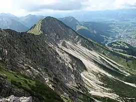 Iseler north side | |
| Highest point | |
| Elevation | 1,876 m (6,155 ft) |
| Prominence | 56 m (184 ft) |
| Isolation | 0.6 km (0.37 mi) |
| Coordinates | 47°29′55″N 10°25′04″E / 47.49861°N 10.41778°E |
| Geography | |
| Parent range | Allgäu Alps |
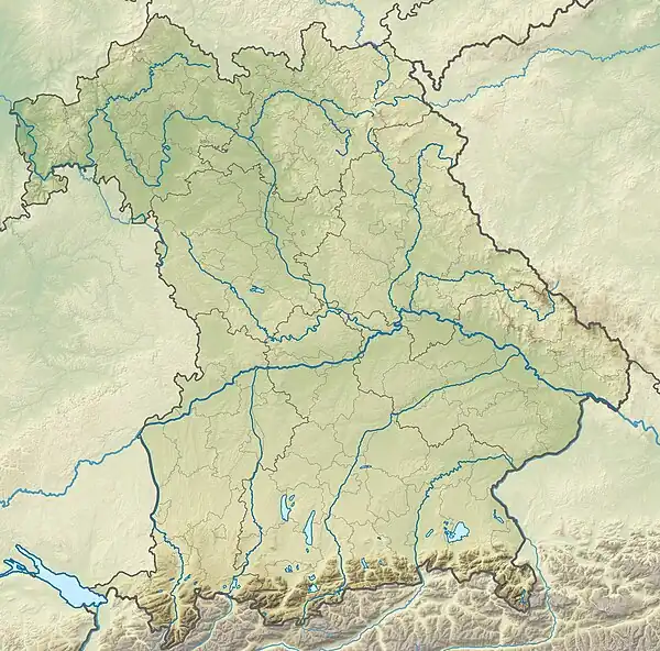
Iseler is a mountain of Bavaria, Germany, near Bad Hindelang and Oberjoch.
There is a chair lift (Iselerbahn) from Oberjoch up to an elevation of 1,580 m (5,180 ft). The summit is accessible via hiking paths and the Salewa-Klettersteig, a via ferrata which starts at the upper station of the lift.[1]
References
- ↑ "Archived copy" (PDF). Archived from the original (PDF) on 2015-07-24. Retrieved 2015-01-11.
{{cite web}}: CS1 maint: archived copy as title (link)
This article is issued from Wikipedia. The text is licensed under Creative Commons - Attribution - Sharealike. Additional terms may apply for the media files.