Indian Springs, Texas | |
|---|---|
| Coordinates: 30°41′16″N 94°44′41″W / 30.68778°N 94.74472°W | |
| Country | |
| State | |
| County | Polk |
| Area | |
| • Total | 1.9 sq mi (4.9 km2) |
| • Land | 1.8 sq mi (4.7 km2) |
| • Water | 0.1 sq mi (0.2 km2) |
| Population (2010) | |
| • Total | 785 |
| • Density | 410/sq mi (160/km2) |
| Time zone | UTC-6 (Central (CST)) |
| • Summer (DST) | UTC-5 (CDT) |
| Zip Code | 77351 |
Indian Springs is a census-designated place (CDP) in Polk County, Texas, United States. This was a new CDP for the 2010 census, with a population of 785.[1]
Geography
Indian Springs is located at 30°41′16″N 94°44′41″W / 30.68778°N 94.74472°W (30.687855, -94.744815). The CDP has a total area of 1.9 square miles (4.9 km2), of which 1.8 square miles (4.7 km2) is land and 0.1 square miles (0.26 km2) is water.[2]
Education
The community is within the Livingston Independent School District.[3]
References
- ↑ "Population and Housing Unit Counts, 2010 Census of Population and Housing" (PDF). Texas: 2010.
- ↑ "Indian Springs, Texas :: Boundary Map of Indian Springs, Texas". Maptechnica.com. Retrieved December 18, 2016.
- ↑ "2020 CENSUS - SCHOOL DISTRICT REFERENCE MAP: Polk County, TX" (PDF). U.S. Census Bureau. Retrieved December 4, 2021.
Municipalities and communities of Polk County, Texas, United States | ||
|---|---|---|
| Cities | 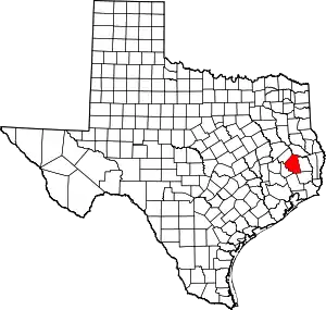 Polk County map | |
| Towns | ||
| CDPs | ||
| Other communities | ||
| Ghost town | ||
| Indian reservation | ||
| Footnotes | ‡This populated place also has portions in an adjacent county or counties | |
This article is issued from Wikipedia. The text is licensed under Creative Commons - Attribution - Sharealike. Additional terms may apply for the media files.