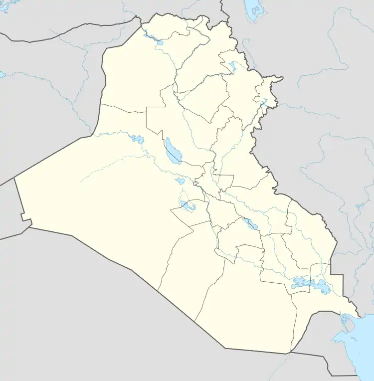
Husaybah
حصيبة | |
|---|---|
 | |
 Husaybah | |
| Coordinates: 34°23′34″N 40°59′13″E / 34.39278°N 40.98694°E | |
| Country | |
| Province | Al-Anbar |
| District | Al-Qa'im |
| Time zone | GMT+3 |
Husaybah (Arabic: حصيبة) is a city on the Euphrates river in the Al-Qa'im District of Al-Anbar province in Iraq, adjacent to the Al-Qa'im border crossing to Syria.
Climate
In Husaybah, there is a desert climate. Most rain falls in the winter. The Köppen-Geiger climate classification is BWh. The average annual temperature in Husaybah is 20.3 °C (68.5 °F). About 113 mm (4.45 in) of precipitation falls annually.
| Climate data for Husaybah | |||||||||||||
|---|---|---|---|---|---|---|---|---|---|---|---|---|---|
| Month | Jan | Feb | Mar | Apr | May | Jun | Jul | Aug | Sep | Oct | Nov | Dec | Year |
| Mean daily maximum °C (°F) | 13.9 (57.0) |
16.8 (62.2) |
21.2 (70.2) |
26.7 (80.1) |
32.7 (90.9) |
38.1 (100.6) |
40.5 (104.9) |
40.5 (104.9) |
36.4 (97.5) |
30.3 (86.5) |
22.1 (71.8) |
15.7 (60.3) |
27.9 (82.2) |
| Mean daily minimum °C (°F) | 2.6 (36.7) |
3.8 (38.8) |
6.9 (44.4) |
11.8 (53.2) |
16.7 (62.1) |
21.0 (69.8) |
23.5 (74.3) |
23.1 (73.6) |
18.7 (65.7) |
13.8 (56.8) |
7.5 (45.5) |
3.7 (38.7) |
12.8 (55.0) |
| Average precipitation mm (inches) | 24 (0.9) |
15 (0.6) |
14 (0.6) |
18 (0.7) |
7 (0.3) |
0 (0) |
0 (0) |
0 (0) |
0 (0) |
6 (0.2) |
9 (0.4) |
20 (0.8) |
113 (4.4) |
| Source: Climate-Data.org,Climate data | |||||||||||||
See also

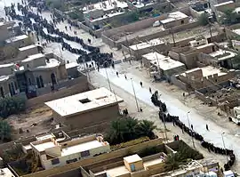
Iraqi citizens wait in line at a polling site in Husaybah, during Iraq's first parliamentary election in 2005 following US-led invasion.
Wikimedia Commons has media related to Husaybah.
This article is issued from Wikipedia. The text is licensed under Creative Commons - Attribution - Sharealike. Additional terms may apply for the media files.