Hudi Vrh | |
|---|---|
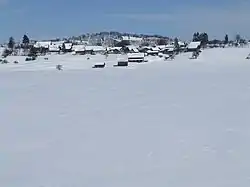 | |
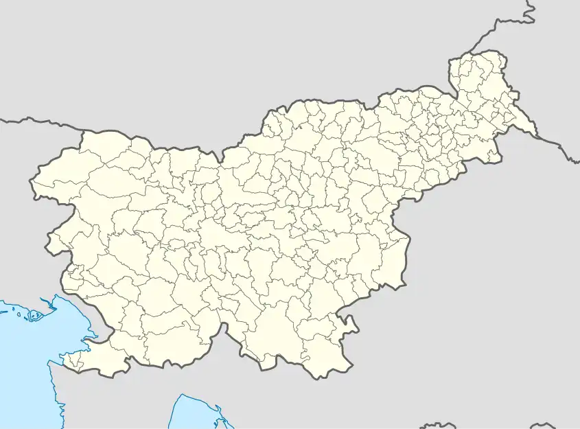 Hudi Vrh Location in Slovenia | |
| Coordinates: 45°45′34.13″N 14°31′20.24″E / 45.7594806°N 14.5222889°E | |
| Country | |
| Traditional region | Inner Carniola |
| Statistical region | Littoral–Inner Carniola |
| Municipality | Bloke |
| Area | |
| • Total | 2.79 km2 (1.08 sq mi) |
| Elevation | 738.7 m (2,423.6 ft) |
| Population (2020) | |
| • Total | 54 |
| • Density | 19/km2 (50/sq mi) |
| [1] | |
Hudi Vrh (pronounced [ˈxuːdi ˈʋəɾx], German: Bösenberg[2][3]) is a small village on a slight elevation south of Fara in the Municipality of Bloke in the Inner Carniola region of Slovenia.[4]
Name
Hudi Vrh was attested in written sources as Posenperg in 1436 and Pösen perg in 1499.[5]
Church
The local church in the settlement is dedicated to Saint Nicholas and belongs to the Parish of Bloke.[6]
References
- ↑ Statistical Office of the Republic of Slovenia
- ↑ Special-Orts-Repertorium von Krain. Vienna: Alfred Hölder. 1884. p. 94.
- ↑ Leksikon občin kraljestev in dežel zastopanih v državnem zboru, vol. 6: Kranjsko. Vienna: C. Kr. Dvorna in Državna Tiskarna. 1906. p. 128.
- ↑ Bloke municipal site
- ↑ "Hudi Vrh". Slovenska historična topografija. ZRC SAZU Zgodovinski inštitut Milka Kosa. Retrieved November 23, 2020.
- ↑ Družina RC Church in Slovenia Journal website
External links
 Media related to Hudi Vrh at Wikimedia Commons
- Hudi Vrh on Geopedia
| Settlements | Administrative seat: Nova Vas
| 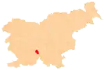 Location of the Municipality of Bloke in Slovenia |
|---|---|---|
| Landmarks |
| |
This article is issued from Wikipedia. The text is licensed under Creative Commons - Attribution - Sharealike. Additional terms may apply for the media files.