Heguri
平群町 | |
|---|---|
Town | |
 Flag  Emblem | |
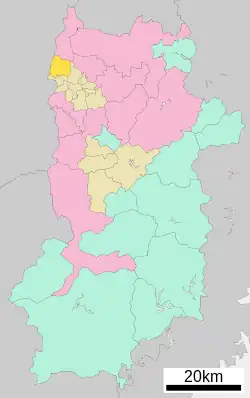 Location of Heguri in Nara Prefecture | |
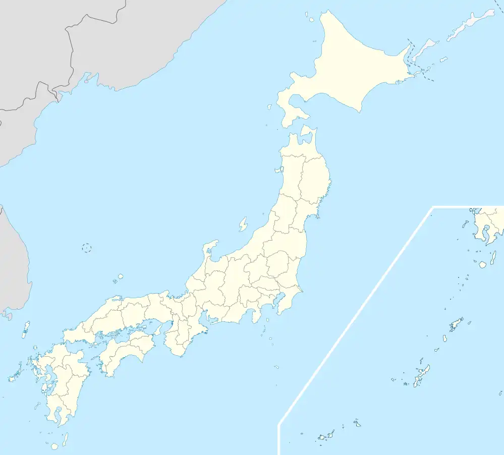 Heguri Location in Japan | |
| Coordinates: 34°38′N 135°42′E / 34.633°N 135.700°E | |
| Country | Japan |
| Region | Kansai |
| Prefecture | Nara Prefecture |
| District | Ikoma |
| Area | |
| • Total | 23.90 km2 (9.23 sq mi) |
| Population (April 1, 2015) | |
| • Total | 18,774 |
| • Density | 790/km2 (2,000/sq mi) |
| Time zone | UTC+09:00 (JST) |
| Website | www |
Heguri (平群町, Heguri-chō) is a town located in Ikoma District, Nara Prefecture, Japan.
As of April 1, 2015, the town has an estimated population of 18,774, and 7,847 households.[1] and a density of 790 persons per km². The total area is 23.90 km².
Education
Elementary schools
- Heguri Elementary School
- Hegurikita Elementary School
- Heguriminami Elementary School
Junior high schools
- Heguri Junior High School
Transportation
Rail
Road
Images
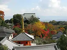
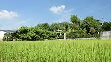 Tomb of Prince Nagaya
See also
References
- ↑ "市町村別推計人口・世帯数". Nara Prefecture. April 1, 2015. Archived from the original on May 18, 2015. Retrieved May 5, 2015.
External links
 Media related to Heguri, Nara at Wikimedia Commons
- Heguri official website (in Japanese)
| Core city | ||
|---|---|---|
| Cities | ||
| Districts | ||
This article is issued from Wikipedia. The text is licensed under Creative Commons - Attribution - Sharealike. Additional terms may apply for the media files.