| Hauts-Forts | |
|---|---|
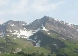 View from Avoriaz | |
| Highest point | |
| Elevation | 2,466 m (8,091 ft) |
| Prominence | 545 m (1,788 ft)[1] |
| Parent peak | Dents du Midi |
| Isolation | 11.25 km (6.99 mi) |
| Coordinates | 46°10′07″N 06°46′39″E / 46.16861°N 6.77750°E |
| Geography | |
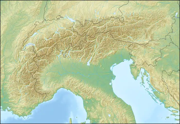 Hauts-Forts Location in the Alps | |
| Location | Haute-Savoie, France |
| Parent range | Chablais Alps |
The Hauts-Forts (2,466 m[2]) is a mountain of the Chablais Alps, located east of Morzine in the French department of Haute-Savoie, within one kilometre of the Swiss border.
The closest locality is Avoriaz, from where a cable car leads to its summit.
References
- ↑ Retrieved from the Swisstopo topographic maps. The key col is the Col de Cou (1,921 m).
- ↑ Page on www.peakbagger.com
This article is issued from Wikipedia. The text is licensed under Creative Commons - Attribution - Sharealike. Additional terms may apply for the media files.