Hardtberg | |
|---|---|
 Flag  Coat of arms | |
Hardtberg within Bonn 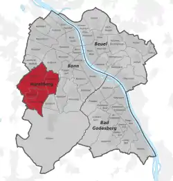 | |
 Hardtberg 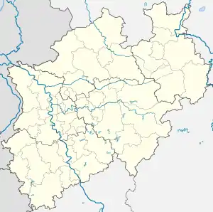 Hardtberg | |
| Coordinates: 50°42′49″N 7°03′14″E / 50.71361°N 7.05389°E | |
| Country | Germany |
| State | North Rhine-Westphalia |
| Admin. region | Cologne |
| District | Urban district |
| City | Bonn |
| Area | |
| • Total | 11.9 km2 (4.6 sq mi) |
| Highest elevation | 162 m (531 ft) |
| Lowest elevation | 71 m (233 ft) |
| Population (2020-12-31)[1] | |
| • Total | 34,576 |
| • Density | 2,900/km2 (7,500/sq mi) |
| Time zone | UTC+01:00 (CET) |
| • Summer (DST) | UTC+02:00 (CEST) |
| Dialling codes | 0228 |
| Vehicle registration | BN |
Hardtberg (Ripuarian: Hardtbersch) is a borough (Stadtbezirk) of Bonn, Germany. It has a population of 34,576 (2018).[1]
Twin towns – sister cities
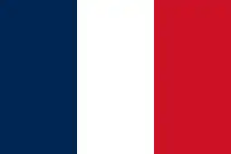 Villemomble, France (1967)
References
- 1 2 "Bevölkerung in der Bundesstadt Bonn Stichtag 31.12.2020" (PDF). Bundesstadt Bonn Statistikstelle. Retrieved 28 September 2021.
- ↑ "Städtepartnerschaft mit Villemomble". bonn.de (in German). Bonn. Retrieved 2021-02-10.
This article is issued from Wikipedia. The text is licensed under Creative Commons - Attribution - Sharealike. Additional terms may apply for the media files.