Gusher, Utah | |
|---|---|
 Gusher  Gusher | |
| Coordinates: 40°18′07″N 109°49′07″W / 40.30194°N 109.81861°W | |
| Country | United States |
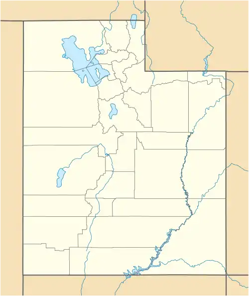
| State | Utah |
| County | Uintah |
| Elevation | 5,069 ft (1,545 m) |
| Time zone | UTC-7 (Mountain (MST)) |
| • Summer (DST) | UTC-6 (MDT) |
| Area code | 435 |
| GNIS feature ID | 1428449[1] |
Gusher is an unincorporated community in Uintah County, Utah, United States.[1] The community is on U.S. Routes 40 and 191 6.5 miles (10.5 km) east of Ballard.[2]
References
- 1 2 "Gusher". Geographic Names Information System. United States Geological Survey, United States Department of the Interior.
- ↑ Utah Official Highway Map (Map). Utah Department of Transportation. 2017. Retrieved November 16, 2020.
Municipalities and communities of Uintah County, Utah, United States | ||
|---|---|---|
| Cities | 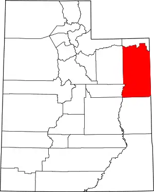 Map of Utah highlighting Uintah County | |
| CDPs | ||
| Other communities | ||
| Indian reservation | ||
| Ghost town | ||
| Footnotes | ‡This populated place also has portions in an adjacent county or counties | |
This article is issued from Wikipedia. The text is licensed under Creative Commons - Attribution - Sharealike. Additional terms may apply for the media files.