| Guri i Topit | |
|---|---|
 Guri i Topit | |
| Highest point | |
| Elevation | 2,125 m (6,972 ft) |
| Prominence | 134 m (440 ft) |
| Isolation | 2.1 km (1.3 mi) |
| Coordinates | 40°50′10″N 20°27′04″E / 40.836076°N 20.451016°E |
| Naming | |
| English translation | Cannon Rock |
| Geography | |
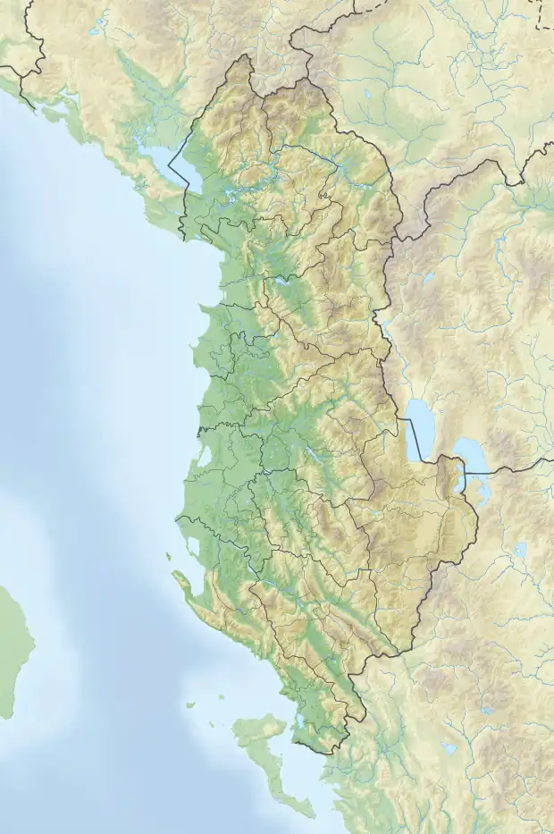
| Country | |
| Region | Central Mountain Region |
| Municipality | Pogradec |
| Geology | |
| Age of rock | Mesozoic |
| Mountain type | mountain |
| Type of rock | limestone, flysch |
Guri i Topit (lit. 'Cannon Rock') is a mountain located on the border between the municipalities of Gramsh and Pogradec, in eastern Albania. Standing at a height of 2,125 m (6,972 ft), it is bordered by Valamara in the south and Guri i Zi in the northwest.[1]
Geology
The mountain is primarily composed of effusive rocks and Mesozoic limestone, as well as flysch, and features a scaly structure. It has an undulating ridge with glacial landforms – above 1,700 m (5,600 ft) – represented by valleys, cirques, moraines and glacial lakes. Several branches of the Devoll river originate on the western slope, while branches of the Shkumbin originate from the eastern side.[2]
Vegetation consists mostly of beech, pine forests and alpine pastures.
See also
References
This article is issued from Wikipedia. The text is licensed under Creative Commons - Attribution - Sharealike. Additional terms may apply for the media files.