Guadalupe Etla | |
|---|---|
Municipality and town | |
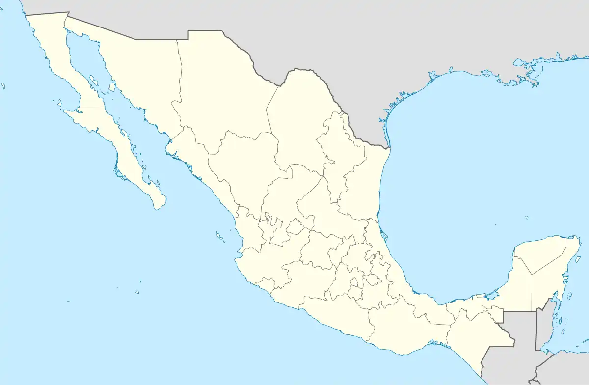 Guadalupe Etla Location in Mexico | |
| Coordinates: 17°10′N 96°49′W / 17.167°N 96.817°W | |
| Country | |
| State | Oaxaca |
| Area | |
| • Total | 17.86 km2 (6.90 sq mi) |
| Population (2010) | |
| • Total | 2,433 |
| Time zone | UTC-6 (Central Standard Time) |
| • Summer (DST) | UTC-5 (Central Daylight Time) |
Guadalupe Etla is a village and municipality in the Mexican state of Oaxaca. The municipality has a total area of 17.86 km ².
Guadalupe Etla is part of the region of the central valleys of Oaxaca.
Etla means "abounding beans" and comes from the Nahuatl words E ~ "bean" and Tia ~ "abundance"; and Guadalupe in honor of the Virgin of Guadalupe.
According to INEGI the total population of Guadalupe Etla in 2010 was 2,433.[1]
References
- ↑ "Guadalupe Etla". Enciclopedia de los Municipios de México. Instituto Nacional para el Federalismo y el Desarrollo Municipal. Archived from the original on December 11, 2004. Retrieved June 12, 2009.
This article is issued from Wikipedia. The text is licensed under Creative Commons - Attribution - Sharealike. Additional terms may apply for the media files.