| Gregg River | |
|---|---|
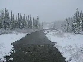 The Gregg River from Alberta Highway 40 | |
| Location | |
| Country | Canada |
| Province | Alberta |
| Physical characteristics | |
| Source | |
| • location | Gregg River Headwaters |
| • coordinates | 53°07′20″N 117°28′44″W / 53.12222°N 117.47889°W |
| • elevation | 1,489 m (4,885 ft) |
| Mouth | |
• location | McLeod River |
• coordinates | 53°17′28″N 117°16′52″W / 53.29111°N 117.28111°W |
• elevation | 1,161 m (3,809 ft) |
The Gregg River is a short river in west-central Alberta, Canada. The river is named after John James Gregg (1840–1941), a prospector and trapper prominent in the area.[1]
Course
The Gregg River forms at the confluence of a number of minor creeks near the Cardinal River Coal Mine, at the base of Mount Sir Harold Mitchell. The river then flows northwest, taking on a number of tributary creeks before joining the McLeod River, which in turn flows into the Athabasca River. The Gregg is bridged by Alberta Highway 40.
Tributaries
- Berry's Creek
- Sphinx Creek
- Drinnan Creek
- Warden Creek
- Teepee Creek
- Wigwam Creek
See also
References
- ↑ Karamitsanis, Aphrodite (1991). Place Names of Alberta, Volume 1. Calgary: University of Calgary Press, pg. 103
| Rivers | 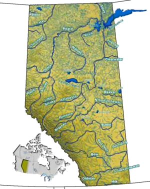 Rivers and lakes in Alberta | |
|---|---|---|
| Waterfalls | ||
| Lakes | ||
| Reservoirs | ||
| Glaciers | ||
| Other | ||
This article is issued from Wikipedia. The text is licensed under Creative Commons - Attribution - Sharealike. Additional terms may apply for the media files.