Godogodo | |
|---|---|
Town | |
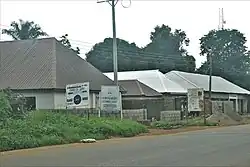 Signpost, Customary Court | |
 Godogodo | |
| Coordinates: 09°26′N 08°21′E / 9.433°N 8.350°E[1] | |
| Country | |
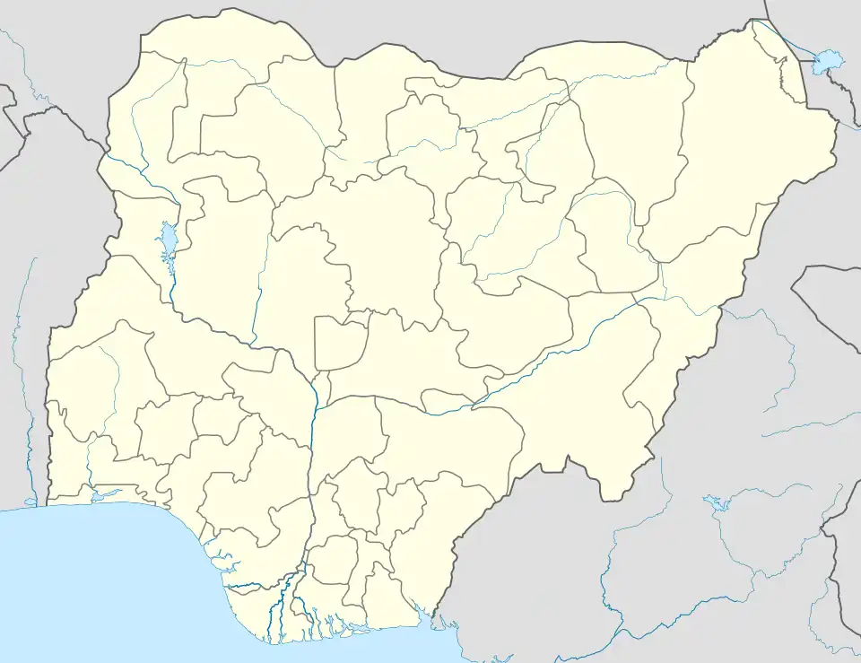
| State | Kaduna State |
| LGA | Jema'a |
| Time zone | UTC+01:00 (WAT) |
| Climate | Aw |
Godogodo is a district as well as a town in Jema'a Local Government Area in southern Kaduna state in the Middle Belt region of Nigeria.[2] It is also the Godogodo Chiefdom headquarters (of the Nindem people). The town has a post office, with a postal code 801.[3] It also houses an old tin mining tunnel site.
References
- ↑ "Godogodo Map - Satellite Images of Godogodo". maplandia.com. Retrieved September 24, 2020.
- ↑ "Godogodo, Godogodo, Jema'A, Kaduna State, Nigeria". mindat.org. Retrieved September 24, 2020.
- ↑ "Post Offices- with map of LGA". NIPOST. Archived from the original on 2009-10-07. Retrieved 2020-09-24.
External links
![]() Media related to Godogodo at Wikimedia Commons
Media related to Godogodo at Wikimedia Commons
This article is issued from Wikipedia. The text is licensed under Creative Commons - Attribution - Sharealike. Additional terms may apply for the media files.