Girardota | |
|---|---|
Municipality and town | |
 | |
 Flag .svg.png.webp) Seal | |
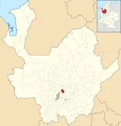 Location of the municipality and town of Girardota in the Antioquia Department of Colombia | |
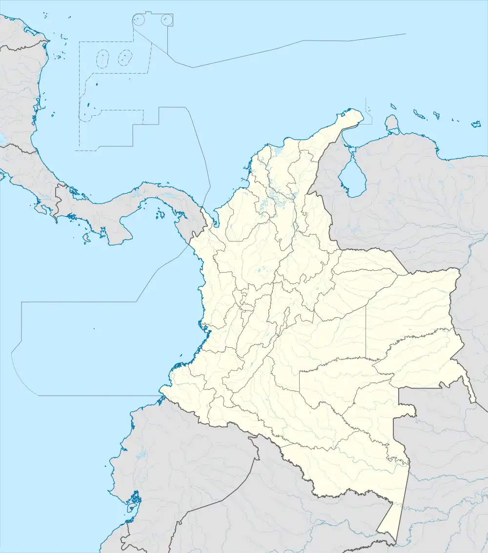 Girardota Location in Colombia | |
| Coordinates: 6°22′35.01″N 75°26′50.23″W / 6.3763917°N 75.4472861°W | |
| Country | |
| Department | |
| Area | |
| • Municipality and town | 82.86 km2 (31.99 sq mi) |
| • Urban | 3.77 km2 (1.46 sq mi) |
| Population (2020 est.)[1] | |
| • Municipality and town | 54,439 |
| • Density | 660/km2 (1,700/sq mi) |
| • Urban | 30,958 |
| • Urban density | 8,200/km2 (21,000/sq mi) |
| Time zone | UTC-5 (Colombia Standard Time) |
Girardota is a town and municipality in Antioquia Department, Colombia. Girardota is part of The Metropolitan Area of the Aburrá Valley. Its population was estimated to be 54,439 in 2020.
References
- ↑ Citypopulation.de Population of Girardota municipality]
Capital: Medellín | |||||||||||||||||||
| Regions and municipalities |
| ||||||||||||||||||
| Related topics | |||||||||||||||||||
6°22′35.01″N 75°26′50.23″W / 6.3763917°N 75.4472861°W
This article is issued from Wikipedia. The text is licensed under Creative Commons - Attribution - Sharealike. Additional terms may apply for the media files.