Gersbach | |
|---|---|
 Coat of arms | |
Location of Gersbach | |
 Gersbach 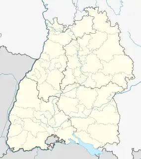 Gersbach | |
| Coordinates: 47°41′51″N 7°56′01″E / 47.69750°N 7.93361°E | |
| Country | Germany |
| State | Baden-Württemberg |
| District | Lörrach |
| Town | Schopfheim |
| Area | |
| • Total | 24.09 km2 (9.30 sq mi) |
| Highest elevation | 1,170 m (3,840 ft) |
| Lowest elevation | 800 m (2,600 ft) |
| Population (2011)[1] | |
| • Total | 630 |
| • Density | 26/km2 (68/sq mi) |
| Time zone | UTC+01:00 (CET) |
| • Summer (DST) | UTC+02:00 (CEST) |
| Postal codes | 79650 |
Gersbach is a state-recognized resort town in the municipality of Schopfheim, a town in the district of Lörrach in Baden-Württemberg, Germany.
Gersbach is situated in a mountain valley basin to the south from the eponymous river in the Black Forest at an altitude of 800–1170 m above sea level. The old town of Schopfheim is roughly 17 km away. The formerly independent village, together with the six associated hamlets (Fetzenbach, Gersbach-Au, Lochmühle, Metteln, Neuhaus, and Schlechtbach) forms one of Baden-Württemberg's largest Gemarkung, with an area of 2409 hectares.
References
This article is issued from Wikipedia. The text is licensed under Creative Commons - Attribution - Sharealike. Additional terms may apply for the media files.