| Gat mort | |
|---|---|
 | |
  | |
| Physical characteristics | |
| Source | |
| • location | Hostens |
| • coordinates | 44°29′20″N 0°36′35″W / 44.48889°N 0.60972°W |
| • elevation | 77 m (253 ft)[1] |
| Mouth | |
• location | Garonne |
• coordinates | 44°42′14″N 0°26′18″W / 44.70389°N 0.43833°W |
• elevation | 5 m (16 ft)[2] |
| Length | 37 km (23 mi) |
| Basin features | |
| Progression | Garonne→ Gironde estuary→ Atlantic Ocean |
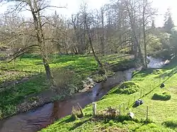
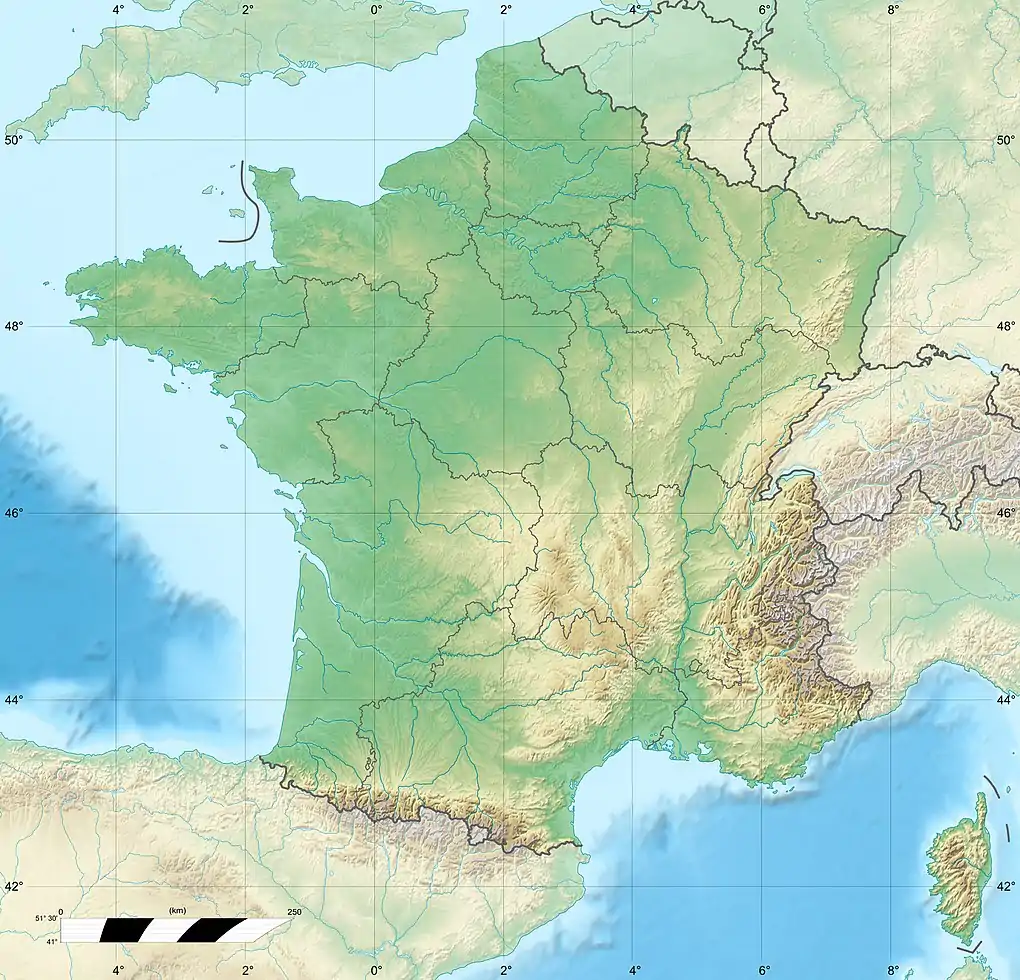
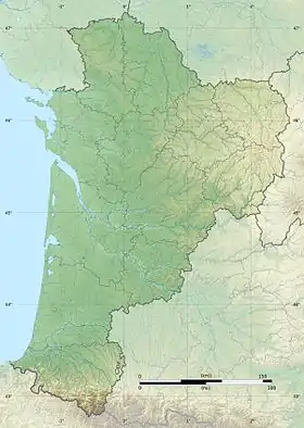
Gat mort is a left tributary of the Garonne, in southwest France. It is 37 km (23 mi) long.[3]
Geography
Gat mort rises in the Landes de Gascogne Regional Natural Park, in the commune of Hostens, generally drains in a north-easterly direction through the Graves wine-growing region and flows into the Garonne as a left tributary after about 37 km (23 mi)[3] at the municipal boundary of Beautiran and Castres-Gironde.
Department and towns
Gat mort flows through the following department and towns:
References
This article is issued from Wikipedia. The text is licensed under Creative Commons - Attribution - Sharealike. Additional terms may apply for the media files.