 USGS aerial imagery of Gard Island | |
 Gard Island  Gard Island | |
| Geography | |
|---|---|
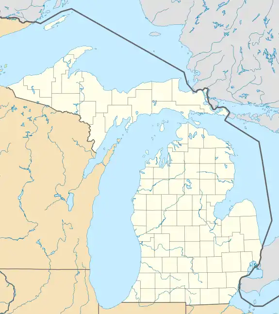
| Location | Michigan |
| Coordinates | 41°44′55″N 83°26′37″W / 41.74861°N 83.44361°W[1] |
| Adjacent to | Maumee Bay |
| Highest elevation | 568 ft (173.1 m)[1] |
| Administration | |
United States | |
| State | |
| County | Monroe |

Indian Island and Gard Island in North Maumee Bay
Gard Island is an island located in Maumee Bay, in Monroe County, Michigan.[2] Its coordinates are 41°44′55″N 83°26′37″W / 41.74861°N 83.44361°W[1], and according to the United States Geological Survey its elevation as 568 ft (173 m) in 1980.[1] It was labeled "Guard Island", along with Indian Island and Squaw Island, on a 1900 USGS map of the area.[3] A 1938 map showed it alongside Indian Island, Odeen Island, and Woodtick Island.[4]
References
- 1 2 3 4 U.S. Geological Survey Geographic Names Information System: Gard Island
- ↑ Eby, David L. (27 October 2020). "History of Monroe's Johnson Island". Monroe Evening News.
- ↑ United States Geological Survey; Renshawe, Jno. H.; Hawkins, Geo. T.; Cooke, Chas. E. (1900). "Maumee Bay, Ohio" (Map). United States Department of the Interior Geological Survey. 1:62500.
- ↑ United States Geological Survey (1938). "Point Place, Ohio" (Map). United States Department of the Interior Geological Survey. 1:31680.
This article is issued from Wikipedia. The text is licensed under Creative Commons - Attribution - Sharealike. Additional terms may apply for the media files.