| Fretherne | |
|---|---|
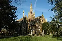 Fretherne Church | |
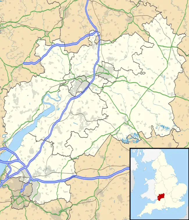 Fretherne Location within Gloucestershire | |
| OS grid reference | SO7309 |
| Civil parish | |
| District | |
| Shire county | |
| Region | |
| Country | England |
| Sovereign state | United Kingdom |
| Post town | Gloucester |
| Postcode district | GL2 |
| Dialling code | 01452 |
| Police | Gloucestershire |
| Fire | Gloucestershire |
| Ambulance | South Western |
| UK Parliament | |
Fretherne is a small village and former civil parish, now in the parish of Fretherne with Saul, in the Stroud district, in Gloucestershire, England, situated between the larger villages of Frampton-on-Severn and Arlingham. In 1881 the parish had a population of 239.[1] In the Domesday Book of 1086 it is recorded as held by Turstin FitzRolf.[2] The village name probably originates from Old English 'Frithorne,' meaning 'Freo's thorn.'
A public footpath 50 metres west of the church leads to Hock Cliff at the River Severn (at its widest pre-estuary point), which is popular with fossil hunters.
On 24 March 1884 the parish was abolished to form "Fretherne with Saul".[3]
See also
References
- ↑ "Population statistics Fretherne With Saul CP/AP through time". A Vision of Britain through Time. Retrieved 6 December 2022.
- ↑ "Home". domesdaybook.co.uk.
- ↑ "Wheatenhurst Registration District". UKBMD. Retrieved 6 December 2022.
External links
![]() Media related to Fretherne at Wikimedia Commons
Media related to Fretherne at Wikimedia Commons
This article is issued from Wikipedia. The text is licensed under Creative Commons - Attribution - Sharealike. Additional terms may apply for the media files.