Fellabær | |
|---|---|
Town | |
 View of Fellabær | |
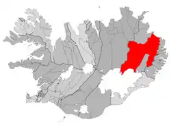 Location of the Municipality of Fljótsdalshérað | |
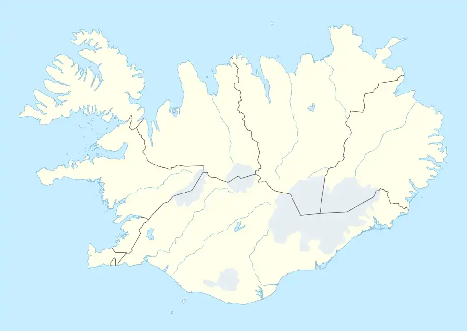 Fellabær Location in Iceland | |
| Coordinates: 65°17′N 14°23′W / 65.283°N 14.383°W | |
| Country | |
| Constituency | Northeast Constituency |
| Region | Eastern Region |
| Municipality | Múlaþing |
| Population (2022) | |
| • Total | 383 |
| Time zone | UTC+0 (GMT) |
| Website | www |
Fellabær (Icelandic pronunciation: [ˈfɛtlaˌpaiːr̥]) is a town in Eastern Iceland, located right across Lagarfljót from Egilsstaðir.
A short bridge across Lagarfljót, approximately 300 metres (984 ft) in length, connects Egilsstaðir and Fellabær. The bridge is a part of the Ring Road. The municipality of Fljótsdalshérað provides free shuttle services between the two towns.[1][2] Amenities in the town include a bookshop with a cafe, an Olís gas station[3] and several places for accommodation.
References
- ↑ "Egilsstaðir". east.is. Retrieved 16 August 2022.
- ↑ "Landsbyggðastrætó / Strætó". Múlaþing. Retrieved 16 August 2022.
- ↑ "Fellabær". Olís. Retrieved 19 March 2017.
This article is issued from Wikipedia. The text is licensed under Creative Commons - Attribution - Sharealike. Additional terms may apply for the media files.