Dulalthok
दुलालथोक Bhamarkot | |
|---|---|
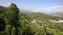 | |
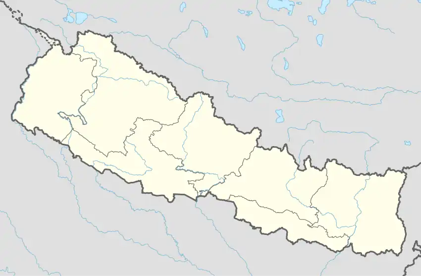 Dulalthok location on map | |
| Coordinates: 27°38′7″N 85°36′13″E / 27.63528°N 85.60361°E | |
| Country | Nepal |
| Zone | Bagmati |
| District | Kabhrepalanchok |
| Municipality | Panchkhal |
| Elevation | 1,100 m (3,600 ft) |
| Time zone | UTC+5:45 (Nepal Standard Time) |
| Postal Code | 45212 [2] |
| Area code | 011 |
Dulalthok is a village located in Panchkhal Municipality of Kavrepalanchok, Nepal. It lies about 6 km east of Dhulikhel; it's district headquarter. Its altitude extends from 870 m to 1100 m above the sea level.[1]
Name
The name comes from combination of Dulal, surname of a Hindu Brahmin community, meaning wanderer and thok meaning abode.
Health and Education
Dulalthok was declared open defecation free zone in 2008 .[3]
References
- 1 2 "Google Map - GPS coordinates, lat and long". Retrieved 15 July 2016.
- ↑ "Postal Codes of Nepal". Nepal Government Postal Services Department. Retrieved 15 July 2016.
- ↑ "Dulalthok an open defecation free zone (from Annapurna Post)". ngoforum.net. 6 June 2008. Retrieved 25 January 2014.
External links
This article is issued from Wikipedia. The text is licensed under Creative Commons - Attribution - Sharealike. Additional terms may apply for the media files.