Dugda
Дугда | |
|---|---|
Settlement | |
 Dugda 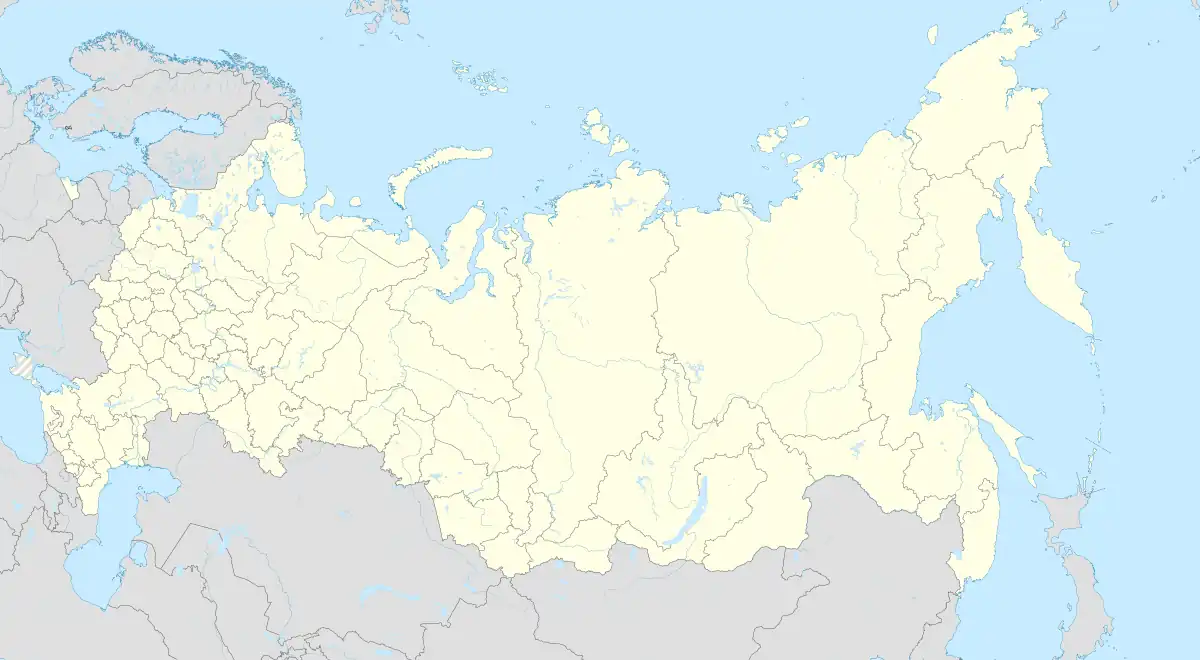 Dugda | |
| Coordinates: 53°20′N 130°00′E / 53.333°N 130.000°E[1] | |
| Country | Russia |
| Region | Amur Oblast |
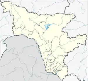
| District | Zeysky District |
| Time zone | UTC+9:00 |
Dugda (Russian: Дугда) is a rural locality (a settlement) in Dugdinsky Selsoviet of Zeysky District, Amur Oblast, Russia. The population was 689 as of 2018.[2] There are 11 streets.
Geography
Dugda is located on the Baikal–Amur Mainline, 286 km southeast of Zeya (the district's administrative centre) by road. Tungala is the nearest rural locality.[3]
References
- ↑ Карта поселка Дугда в Амурской области
- ↑ "Оценка численности постоянного населения Амурской области по городам и районам". Archived from the original on 2016-04-25. Retrieved 2018-11-28.
- ↑ Расстояние от Дугды до Зеи
This article is issued from Wikipedia. The text is licensed under Creative Commons - Attribution - Sharealike. Additional terms may apply for the media files.