| Dofteana | |
|---|---|
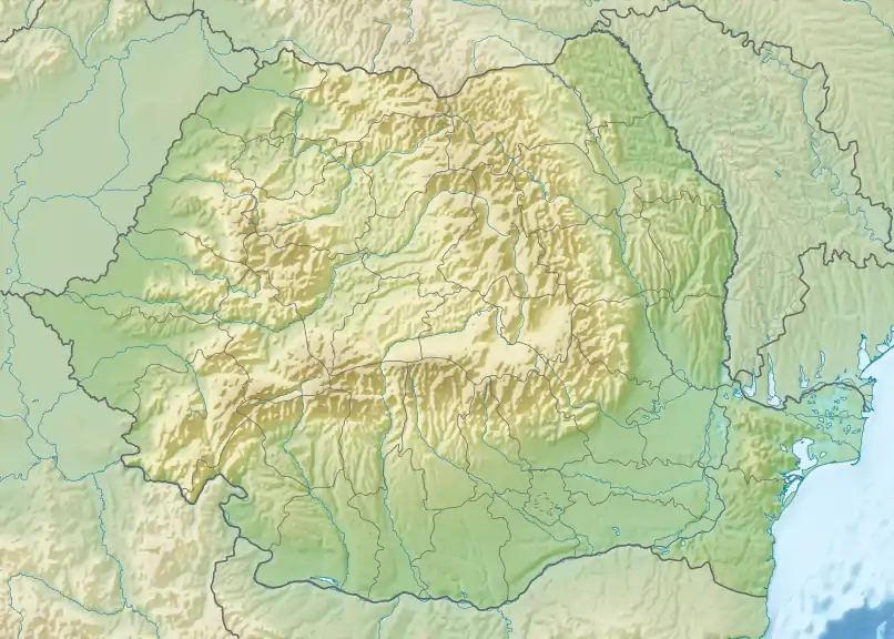 | |
| Location | |
| Country | Romania |
| Counties | Bacău County |
| Villages | Dofteana |
| Physical characteristics | |
| Mouth | Trotuș |
• location | Dofteana |
• coordinates | 46°19′41″N 26°32′23″E / 46.3281°N 26.5398°E |
| Length | 26 km (16 mi) |
| Basin size | 110 km2 (42 sq mi) |
| Basin features | |
| Progression | Trotuș→ Siret→ Danube→ Black Sea |
| Tributaries | |
| • left | Ciunget, Doftenița |
The Dofteana is a right tributary of the river Trotuș in Romania.[1][2][3] It discharges into the Trotuș in the village Dofteana.[4] Its length is 26 km (16 mi) and its basin size is 110 km2 (42 sq mi).[2]
References
- ↑ "Planul național de management. Sinteza planurilor de management la nivel de bazine/spații hidrografice, anexa 7.1" (PDF, 5.1 MB). Administrația Națională Apele Române. 2010. p. 965.
- 1 2 Atlasul cadastrului apelor din România. Partea 1 (in Romanian). Bucharest: Ministerul Mediului. 1992. p. 406. OCLC 895459847. River code: XII.1.69.24
- ↑ Ovidiu Gabor - "Economic Mechanism in Water Management" (PDF). Archived from the original (PDF) on 5 March 2009. Retrieved 2009-03-05., map page 10
- ↑ Dofteana (jud. Bacau), e-calauza.ro
This article is issued from Wikipedia. The text is licensed under Creative Commons - Attribution - Sharealike. Additional terms may apply for the media files.