Dindoli
South East Zone | |
|---|---|
town | |
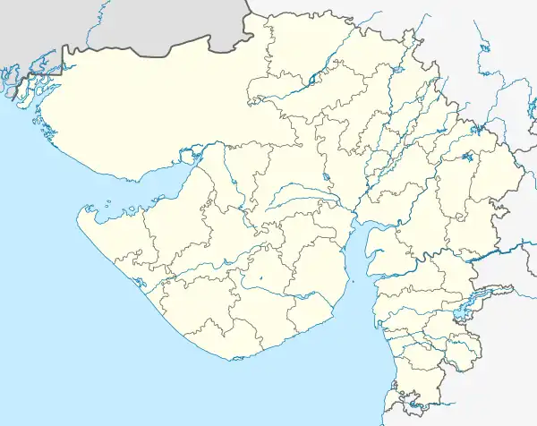 Dindoli Location in Gujarat, India | |
| Coordinates: 21°05′N 72°51′E / 21.08°N 72.85°E | |
| Country | |
| State | Gujarat |
| District | Surat |
| Government | |
| • Body | Surat Municipal Corporation |
| Area | |
| • Total | 19.6 km2 (7.6 sq mi) |
| Elevation | 12 m (39 ft) |
| Population (2010) | |
| • Total | 567,000 |
| • Density | 29,000/km2 (75,000/sq mi) |
| Languages | |
| • Official | Gujarati, Hindi |
| Time zone | UTC+5:30 (IST) |
| Telephone code | 0261 |
| Vehicle registration | GJ5 |
| Nearest city | Surat |
| Literacy | 89% |
| Civic agency | Surat Municipal Corporation |
Dindoli is a zonal town in the city of Surat. Today Dindoli has grown in area and population due to amalgamation of Municipalities of Godadara and Parvat and Town panchayats of Dindoli, Kharavasa . The area is also known for its Haphazard Development due to growth of migrants in the area.[1][2]
References
- ↑ "Surat: Dindoli floral garden nears completion". The Times of India. 25 October 2019. Retrieved 18 January 2020.
- ↑ "Surat". Retrieved 18 January 2020.
This article is issued from Wikipedia. The text is licensed under Creative Commons - Attribution - Sharealike. Additional terms may apply for the media files.