Deurze | |
|---|---|
Village | |
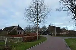 Deurze (2018) | |
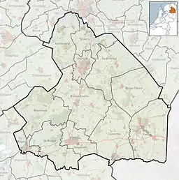
 Deurze in the municipality of Aa en Hunze. | |
 Deurze Location in the Netherlands 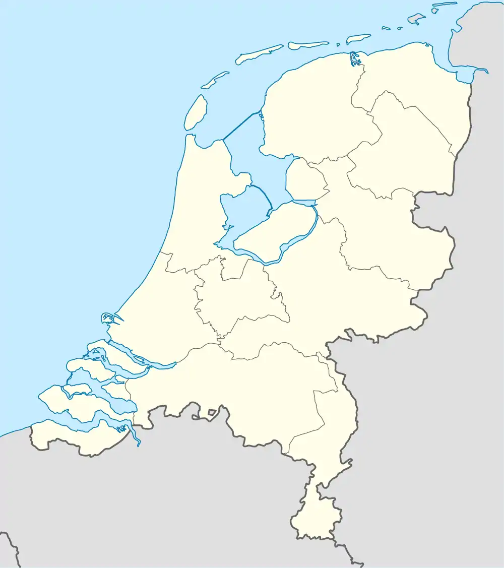 Deurze Deurze (Netherlands) | |
| Coordinates: 52°59′1″N 6°36′33″E / 52.98361°N 6.60917°E | |
| Country | Netherlands |
| Province | Drenthe |
| Municipality | Aa en Hunze |
| Area | |
| • Total | 0.50 km2 (0.19 sq mi) |
| Elevation | 11 m (36 ft) |
| Population (2021)[1] | |
| • Total | 85 |
| • Density | 170/km2 (440/sq mi) |
| Time zone | UTC+1 (CET) |
| • Summer (DST) | UTC+2 (CEST) |
| Postal code | 9457[1] |
| Dialing code | 0592 |
Deurze is a village in the Dutch province of Drenthe. It is a part of the municipality of Aa en Hunze, and lies about 4 km southeast of Assen.
History
The village was first mentioned in 1259 as "curtem Durse". The etymology is unclear.[3] In 1258, Otto I of Bentheim awarded former possessions of the monastery Maria in Campis, who moved to Assen, to Hako Stevenzoon van Hardenberg. The lands would become known as Deurze. There was a wind mill, however it was destroyed by Christoph Bernhard von Galen, the Prince-Bishop of Münster in 1672 who had built a sconce near the village for his failed invasion of the Netherlands.[4]
Deurze was home to 58 people in 1840.[4]
Transportation
There is no railway station here. The nearest station is Assen station. The nearest bus stop is about 1 km north of the centre at which the services 10, 21, 24 and 28 stop.
For further information see Aa en Hunze#Transportation.
References
- 1 2 3 "Kerncijfers wijken en buurten 2021". Central Bureau of Statistics. Retrieved 10 April 2022.
two entries
- ↑ "Postcodetool for 9457AA". Actueel Hoogtebestand Nederland (in Dutch). Het Waterschapshuis. Retrieved 10 April 2022.
- ↑ "Deurze - (geografische naam)". Etymologiebank (in Dutch). Retrieved 10 April 2022.
- 1 2 "Deurze". Plaatsengids (in Dutch). Retrieved 10 April 2022.