Deto Station 出戸駅 | |||||||||||
|---|---|---|---|---|---|---|---|---|---|---|---|
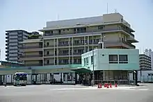
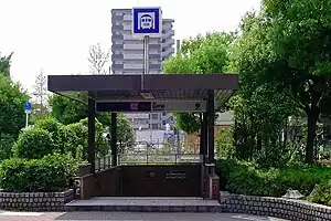 Station entrance | |||||||||||
| General information | |||||||||||
| Operated by | |||||||||||
| Line(s) | |||||||||||
| Platforms | 1 island platform | ||||||||||
| Tracks | 2 | ||||||||||
| Other information | |||||||||||
| Station code | T 34 | ||||||||||
| History | |||||||||||
| Opened | 27 November 1980 | ||||||||||
| Services | |||||||||||
| |||||||||||
| Location | |||||||||||
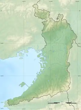 Deto Station Location within Osaka Prefecture  Deto Station Deto Station (Japan) | |||||||||||
Deto Station (出戸駅, Deto-eki, T34) is a metro station on the Osaka Metro Tanimachi Line located in Hirano-ku, Osaka, Japan.
Layout
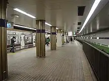
Station platform
The station has an island platform serving 2 tracks underground.
| 1 | ■ Tanimachi Line | for Yaominami |
| 2 | ■ Tanimachi Line | for Tennoji, Higashi-Umeda and Dainichi |
Surroundings
- Daiei
- Nagayoshi Park
- Nagahara Ruins
Deto Bus Terminal
Deto Bus Terminal
- Bus stop 1
- Route 61A for Nagayoshi Shogakko-mae and Nagayoshi-Rokutan
- Route 61B for Nishi-Deto and Nagayoshi-Rokutan
- Route 61C for Nagayoshi Shogakko-mae, Nagayoshi-Rokutan and Craft Park
- Route 61D for Nishi-Deto, Craft Park and Nagayoshi-Rokutan
- Route 9 for Hirano Kuyakusho-mae via Kami-minami and Hirano-Miyamachi Nichome
- Bus stop 2
- Route 1 for Abeobashi via Hirano-Miyamachi Nichome
- Route 2 for Nagayoshi-Nagahara-higashi Sanchome
- Bus stop 3
- Route 3 for Subway Suminoekoen via Kire-higashiguchi and Subway Hirano
- Route 73 for Namba via Hirano Sports Center and Subway Hirano
- Bus stop 4
- Route 4 for Subway Suminoekoen via Subway Kire-Uriwari and Subway Nagai
- Route 14 for Koya-ohashi via Subway Kire-Uriwari
- Bus stop 5
- Route 16 for Uriwari-higashi Hatchome
- Route 33 for Nagayoshi-Kawanabe Yonchome via Nagayoshi Koko-mae
External links
Wikimedia Commons has media related to Deto Station.
- Official Site (in Japanese)
- Official Site (in English)
34°36′32″N 135°33′58″E / 34.608862°N 135.566225°E
This article is issued from Wikipedia. The text is licensed under Creative Commons - Attribution - Sharealike. Additional terms may apply for the media files.