Denzer, Wisconsin | |
|---|---|
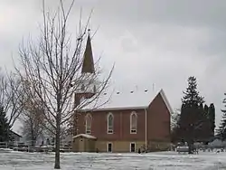 Denzer United Methodist Church | |
 Denzer, Wisconsin  Denzer, Wisconsin | |
| Coordinates: 43°20′39″N 89°53′12″W / 43.34417°N 89.88667°W | |
| Country | |
| State | |
| County | Sauk |
| Elevation | 245 m (804 ft) |
| Time zone | UTC-6 (Central (CST)) |
| • Summer (DST) | UTC-5 (CDT) |
| Area code | 608 |
| GNIS feature ID | 1563909[1] |
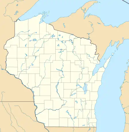
Denzer is an unincorporated community in the town of Honey Creek, Sauk County, Wisconsin, United States. Denzer is located on County Highway C east of Natural Bridge State Park, 9 miles (14 km) west-northwest of Prairie du Sac.[2]
History
The community was named for Heinrich W. Denzer, who had donated land for a church and a school.[3]
.JPG.webp)
Honey Creek Town Hall in Denzer
References
- ↑ U.S. Geological Survey Geographic Names Information System: Denzer, Wisconsin
- ↑ Sauk County (PDF) (Map). Wisconsin Department of Transportation. Archived from the original (pdf) on February 21, 2015. Retrieved December 26, 2010.
- ↑ Callary, Edward. Place Names of Wisconsin. Madison, WI: University of Wisconsin Press. p. 74. ISBN 978-0-299-30964-0.
Municipalities and communities of Sauk County, Wisconsin, United States | ||
|---|---|---|
| Cities | 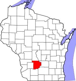 | |
| Villages | ||
| Towns | ||
| CDPs | ||
| Unincorporated communities | ||
| Indian reservation | ||
| Footnotes | ‡This populated place also has portions in an adjacent county or counties | |
This article is issued from Wikipedia. The text is licensed under Creative Commons - Attribution - Sharealike. Additional terms may apply for the media files.